
|
Analisi delle immagini (3a parte) Ngorongoro Conservation Area, Confine dell'NCA. 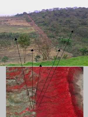 Compare the photo and Landsat image from the Southern border of the Ngorongoro Conservation Area and the surrounding agricultural land. The photo is from 23 September 2000 and the False colour Landsat _432 image is from 25 October 2000. Trovate i campi  A Maasai boma. 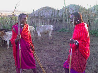 Two Maasai men inside their boma. 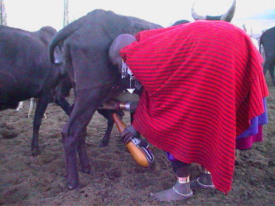 Maasai woman milking a cow. 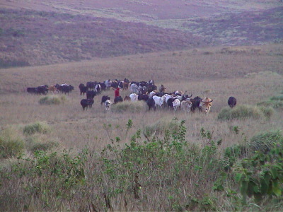 Cattle returning to the boma after a day in the crater. |