 |
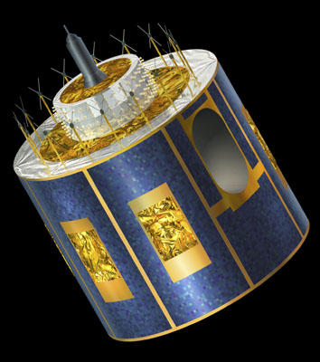
Introduction to Meteosat images  Five identical geostationary satellites are placed in a constellation around the equator. There is Meteosat (ESA), GMS (Japan), INSAT (India), and GOES E and GOES W (USA). Together they produce new images of global weather conditions every half hour. They do not, however, cover the Polar Regions.  The first launch of a second generation of Meteosat satellites was in 2002. The opportunity to analyse the atmosphere and its trace gasses was enhanced with these satellites.  Thermal infrared channel (IR) image.  Visible channel (VIS) image.  Water vapour (WV) image. |