| |
Tiempo y clima
|
Foehn
|
| • | El foehn (http://www.esa.int/SPECIALS/Eduspace_Weather_ES/SEM5J5LW3ZF_0.html) |
|
| • | Antecedentes (http://www.esa.int/SPECIALS/Eduspace_Weather_ES/SEM3T5LW3ZF_0.html) |
|
Ejercicios
|
| • | Hoja de trabajo (http://www.esa.int/SPECIALS/Eduspace_Weather_ES/SEM838LW3ZF_0.html) |
|
| • | Fotos desde el avión (http://www.esa.int/SPECIALS/Eduspace_Weather_ES/SEML48LW3ZF_0.html) |
|
| • | Vídeos desde el avión (http://www.esa.int/SPECIALS/Eduspace_Weather_ES/SEMZ58LW3ZF_0.html) |
|
| • | Imágenes del Meteosat (http://www.esa.int/SPECIALS/Eduspace_Weather_ES/SEM5A8LW3ZF_0.html) |
|
| • | Imágenes del NOAA (http://www.esa.int/SPECIALS/Eduspace_Weather_ES/SEMCE8LW3ZF_0.html) |
|
| • | Vídeo de las nubes (http://www.esa.int/SPECIALS/Eduspace_Weather_ES/SEMIH8LW3ZF_0.html) |
|
| • | La corriente en chorro (http://www.esa.int/SPECIALS/Eduspace_Weather_ES/SEMRF9LW3ZF_0.html) |
|
| • | Entrevista con el copiloto (http://www.esa.int/SPECIALS/Eduspace_Weather_ES/SEMAS9LW3ZF_0.html) |
|
| • | Otros ejemplos (http://www.esa.int/SPECIALS/Eduspace_Weather_ES/SEMOW9LW3ZF_0.html) |
|
Links
|
| • | Satellite images from Sarepta (http://www.sarepta.org/index.php) |
|
| • | METEOSAT images from EUMETSAT (http://oiswww.eumetsat.org/IPPS/html/MSG/IMAGERY/IR039/BW/index.htm) |
|
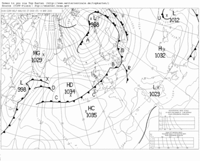
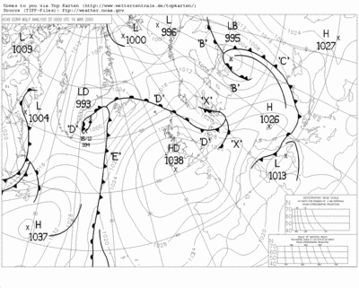
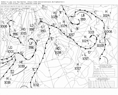
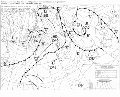
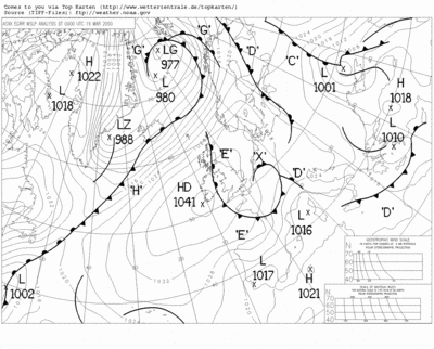
| • | Surface maps (http://www.wetterzentrale.de/) |
|
| • | Internet Weather source (http://weather.noaa.gov/weather/ccworld.html) |
|
| • | NOAA (http://www.noaa.gov/) |
|
| • | European weather charts (http://www.meteo.uni-koeln.de/meteo.php?show=En_We_We) |
|
| • | Jet Stream (http://meteorology.lyndonstate.edu/data/web/upperair/jet/globjet.gif) |
|
| • | Forecast Charts for the Jet Stream (http://www.ecmwf.int/products/forecasts/d/charts) |
|
Videos
|
| • | Cloud video (http://esamultimedia.esa.int/multimedia/eduspace/FohnFilm.avi) |
|
| • | Lakes of Albani and Nemi video (http://esamultimedia.esa.int/multimedia/eduspace/Nemi.avi) |
|
| • | Plains of Po river valley and foothills of the Alps video (http://esamultimedia.esa.int/multimedia/eduspace/Alperne.avi) |
|
| • | Cloud cover south of Hanover, Germany video (http://esamultimedia.esa.int/multimedia/eduspace/Hannover.avi) |
|
| • | Development of weather systems animation (http://esamultimedia.esa.int/multimedia/eduspace/500Hpa.avi) |
|
| • | Interview with co-pilot (http://esamultimedia.esa.int/multimedia/eduspace/Fohn_26.avi) |
|
| • | Mathematical simulation of foehn
situation, 15-16 March 2000 (http://esamultimedia.esa.int/multimedia/eduspace/foehn_simul_000316_grid1.avi) |
|
Eduspace - Download
|
| • | LEOWorks 3 (http://esamultimedia.esa.int/multimedia/LEOWorks3.exe) |
|