
|
Oefening 3 - Meteosat-beelden 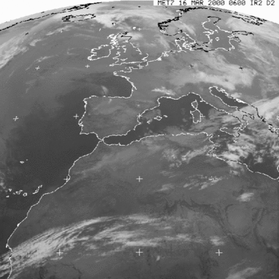 Meteosat image from 16 March 2000. The image is an infrared (IR) image, which means that the temperature is shown in a scale from white (low temperatures) to black (high temperatures). 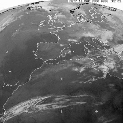 Meteosat image from 16 March 2000. The image is an infrared (IR) image, which means that the temperature is shown in a scale from white (low temperatures) to black (high temperatures). 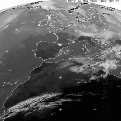 Meteosat image from 16 March 2000. The image is an infrared (IR) image, which means that the temperature is shown in a scale from white (low temperatures) to black (high temperatures). 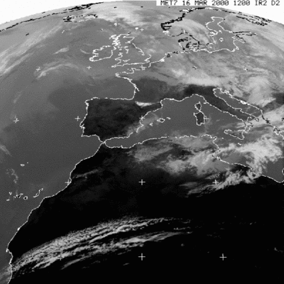 Meteosat image from 16 March 2000. The image is an infrared (IR) image, which means that the temperature is shown in a scale from white (low temperatures) to black (high temperatures). 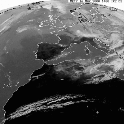 Meteosat image from 16 March 2000. The image is an infrared (IR) image, which means that the temperature is shown in a scale from white (low temperatures) to black (high temperatures). 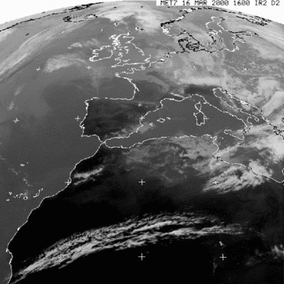 Meteosat image from 16 March 2000. The image is an infrared (IR) image, which means that the temperature is shown in a scale from white (low temperatures) to black (high temperatures). 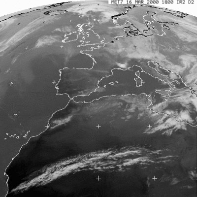 Meteosat image from 16 March 2000. The image is an infrared (IR) image, which means that the temperature is shown in a scale from white (low temperatures) to black (high temperatures). 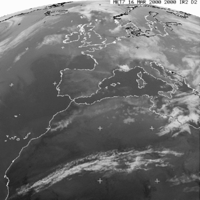 Meteosat image from 16 March 2000. The image is an infrared (IR) image, which means that the temperature is shown in a scale from white (low temperatures) to black (high temperatures). |