
Applications
Swath processing
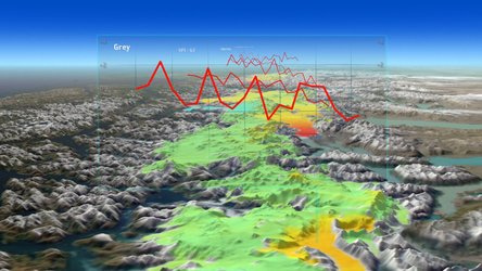
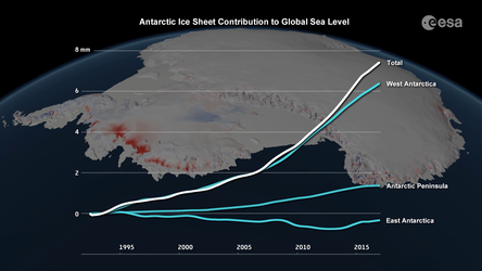
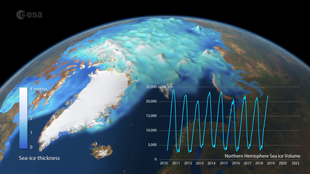
The technique of swath processing differs from conventional radar altimetry. Using CryoSat’s novel interferometric mode, whole swaths, rather than single points, of elevations can be computed. This is yielding more detail that ever before on how glacial ice is changing.


