Campaign imagery furthers Sentinel development
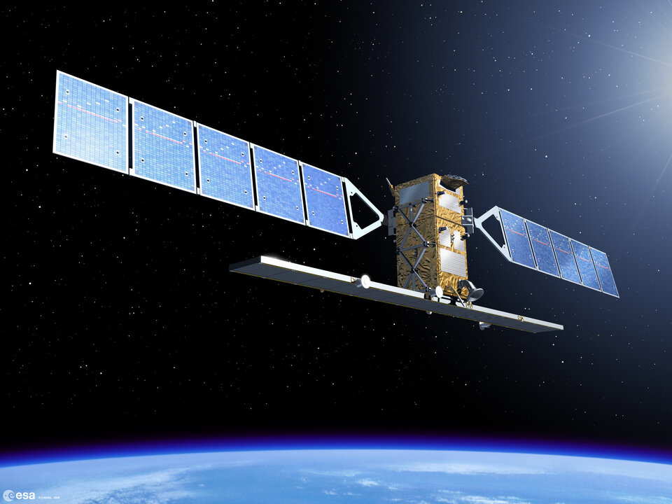
After more than a year of careful analysis, the results from extensive airborne campaigns carried out in support of ESA's Sentinel-1 and -2 missions prove extremely promising - ultimately helping to pave the way for future Earth Observation-based services relating to land-surface monitoring.
As with all Earth Observation missions, a crucial part of the development process is assessing the performance of the on-board instrumentation as well as the algorithms that will be used to transform the raw satellite data into information products required by the end-user. To this end, numerous field campaigns are carried out. Two such campaigns, dedicated to simulating both Sentinel-1 and -2 imagery over land, have just had their results presented at a workshop held at ESA's facilities in the Netherlands.

Sentinel-1 and -2 constitute the first two satellites in a series of operational missions that ESA is developing within the Global Monitoring for Environment and Security (GMES) programme. GMES is a European Commission initiative through which ESA carries the responsibility for the implementation of the space component to provide Earth Observation data for information services to aid sustainable development and global governance with respect to environmental and security policies.

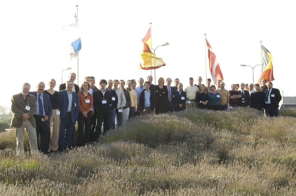
The workshop focused on the encouraging results of the AGRISAR (AGRIcultural bio/geophysical retrieval from frequent repeat pass SAR and optical imaging) and the EAGLE (Exploitation of AnGular effects in Land surfacE observations from satellites) campaigns that were carried out last year. After extensive analysis, results of these multi-faceted campaigns on the investigation and validation of bio- and geophysical parameters, retrieval and simulation of both Sentinel-1 and -2 products were presented to scientists from all over the world who gathered at ESA-ESTEC on 15-16 October.

"We collected a huge amount of data during the campaign, the SAR data alone amounted to more that 100 Gigabytes. Just as encouraging though, was the fact that the data were of excellent quality," stated Irena Hajnsek, the AGRISAR Study Manager from DLR. "This multidisciplinary campaign provided a unique opportunity to realise both radar and optical measurements allowing us to better interpret the eventual data that Sentinel-1 and -2 will deliver."
The ESA AGRISAR campaign was carried out over an agricultural area north of Berlin in Germany and involved more than 15 different institutes from eight different countries. Unique in scope and scale, the campaign was designed to acquire radar and optical data throughout the entire growing season. Airborne coverage of the sowing period right through to harvesting meant that it was possible to observe how the change in crop growth was reflected in the SAR data.

The campaign ran for four months with radar data collection occurring nearly every week. Joint radar and optical airborne measurements were made at two time intervals over the same agricultural site and once in conjunction with the EU EAGLE project over forest and grassland sites in the Netherlands. Three main airborne sensors were involved: the E-SAR system from DLR in Germany, the AHS from INTA in Spain and CASI from ITRES Research Limited in Canada. To make a comparison with measurements taken from the air, intensive and simultaneous measurements were collected on the ground during each flight survey.
As well as improving the understanding of how best to interpret and retrieve information over land from the eventual Sentinel-1 and -2 missions, the campaigns also provided a glimpse of the future applications that would lead to a better understanding of our environment.
Scientists attending the workshop were very encouraged by the results of the campaigns as highlighted by Evert Attema, ESA's Mission and System Manager for Sentinel-1, "The success of the AGRISAR and EAGLE campaigns means that for the first time we have simulated products for both Sentinel-1 and Sentinel-2 providing a real insight into the future products these two missions will realise for land-monitoring applications. This type of information will prove invaluable for GMES services associated with land-use classification, fresh water management and food security."


 Germany
 Austria
 Belgium
 Denmark
 Spain
Spain
 Estonia
 Finland
 France
 Greece
 Hungary
 Ireland
 Italy
Italy
 Luxembourg
 Norway
 The Netherlands
 Poland
 Portugal
 Czechia
 Romania
 United Kingdom
 Slovenia
 Sweden
 Switzerland


