Germany
 Austria
 Belgium
 Denmark
 Spain
Spain
 Estonia
 Finland
 France
 Greece
 Hungary
 Ireland
 Italy
Italy
 Luxembourg
 Norway
 The Netherlands
 Poland
 Portugal
 Czechia
 Romania
 United Kingdom
 Slovenia
 Sweden
 Switzerland


Facts and figures
Launch: Sentinel-1A on 3 April 2014
Sentinel-1B on 25 April 2016
Sentinel-1C on 5 December 2024
Sentinel-1D in the second half of 2025
Launcher: Soyuz for Sentinel-1A and -1B
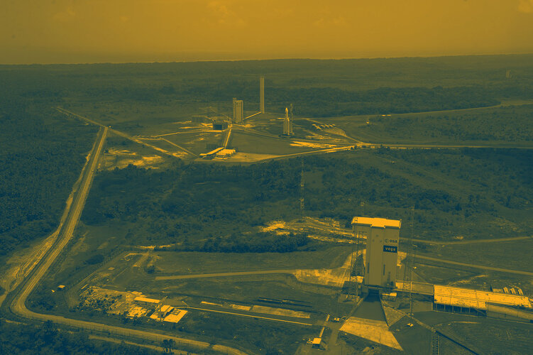
Vega-C for Sentinel-1C
Ariane-6 for Sentinel-1D
Launch site: Kourou, French Guiana
Orbit: Polar, Sun-synchronous at an altitude of 693 km
Revisit time: Six days (at the equator) from two-satellite constellation
Life: Minimum of seven years
Satellite: 21 m long, 2.5 m wide, 4 m high with 2×10 m-long solar arrays and a 12 m-long radar antenna
Mass: 2185 kg
Instrument: C-band synthetic aperture radar (SAR) at 5.405 GHz
Automatic Identification System (AIS) onboard Sentinel-1C and Sentinel-1D
Operational modes: Interferometric wide-swath mode at 250 km and 5×20 m spatial resolution
Wave-mode images of 20×20 km and 5×5 m spatial resolution (at 100 km intervals)
Strip map mode at 80 km swath and 5×5 m spatial resolution
Extra wide-swath mode of 400 km and 20×40 m spatial resolution
Receiving stations: SAR data: Svalbard, Norway; Matera, Italy; Maspalomas, Spain; Inuvik Canada; and via laser link through EDRS. Telemetry, tracking and command: Kiruna, Sweden
Mission: Developed, operated and managed by various ESA establishments
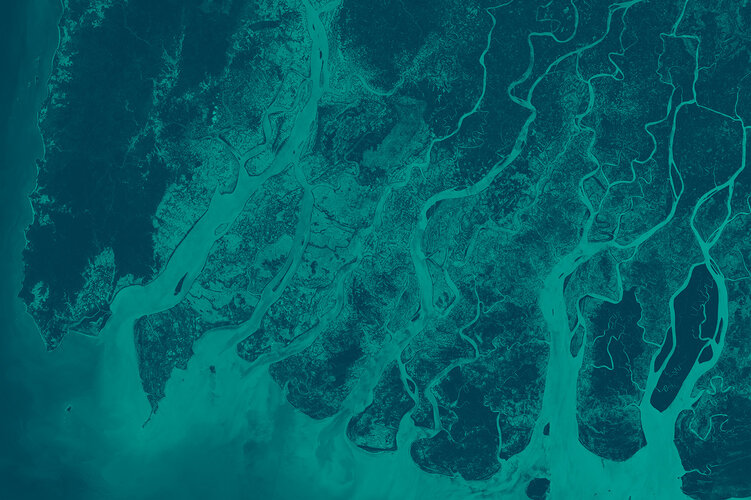
Main applications: Monitoring sea ice, glacier velocity, oil spills, marine winds, waves & currents, land-use change, land deformation among others, and to respond to emergencies such as floods and earthquakes and support humanitarian aid and crisis situations
Funding: ESA Member States and the European Union
Prime contractors: Thales Alenia Space for the satellite; Airbus Defence and Space for the SAR instrument
Data access: dataspace.copernicus.eu
Back to Sentinel-1 homepage |