Follow live discussions: Sea-level rise and Sentinel-6
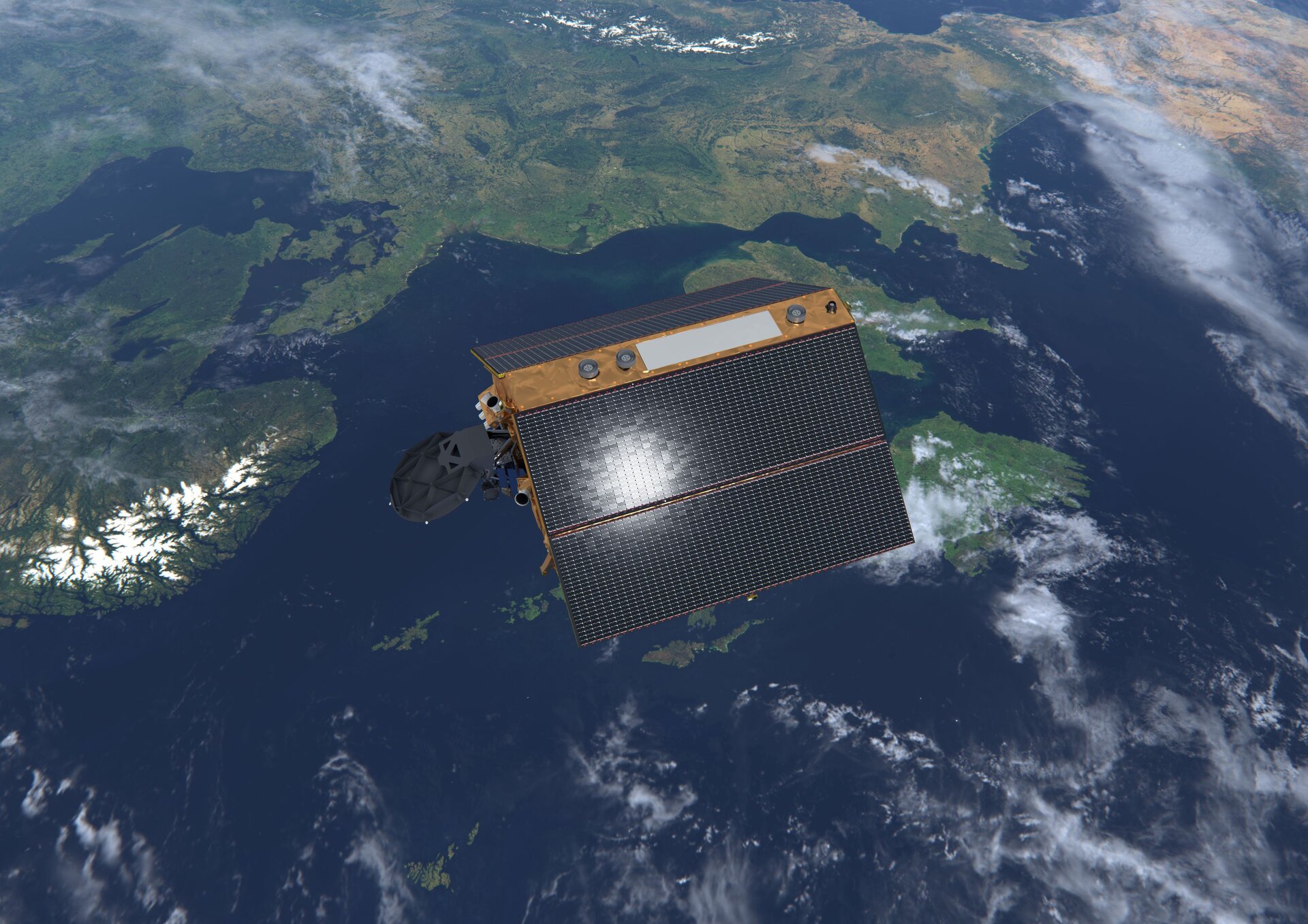
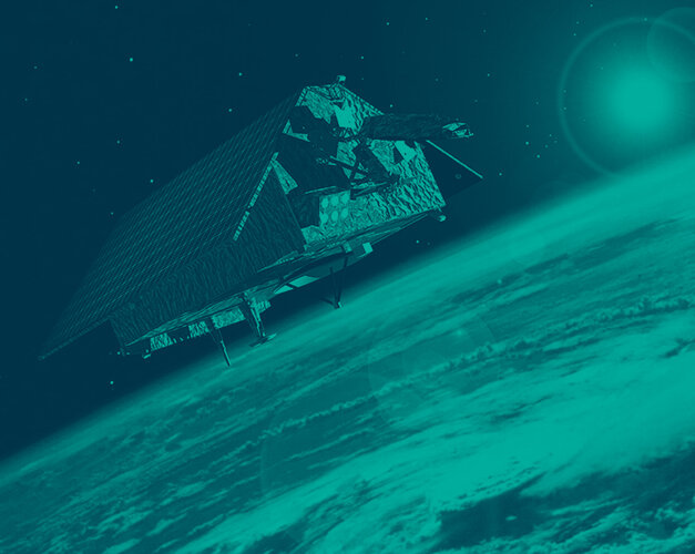
Ahead of the impending launch of the Copernicus Sentinel-6 Michael Freilich satellite, join us for a live discussion on the spaceborne technology that measures sea-level rise and how this contributes to our understanding of global climate change.
Sea levels have not only been rising over the past 25 years, but are accelerating, putting coastal communities and multiple megacities at risk. In November 2020, the Copernicus Sentinel-6 Michael Freilich satellite will be launched to map, measure and monitor exactly this, so we can understand and mitigate its consequences.
With a coastline of more than 100 000 km, many of Europe’s densely populated coastal zones are vulnerable to coastal flooding. Through this series of webinars, we will hear more from ESA experts, journalists, policy-makers and activists as they discuss sea-level rise in Europe.
Learn more about why the Copernicus Sentinel-6 mission is essential for climate data records, why space altimetry is the most powerful tool we have to measure sea-level rise and how we can protect low-lying communities under threat.
Follow online
Each segment will be streamed live on ESA Web TV and ESA Facebook, see full programme below.
The audience will be able to interact with the experts by asking questions on social media using the hashtag #AskESA and #Sentinel6. Questions can also be posted on the live comment section on Facebook.
English segment Monday 2 November 16:00-17:00 CET
- Craig Donlon – Copernicus Sentinel-6 Mission Scientist, ESA
- Luca Parmitano - ESA Astronaut
- Laura Gibson-ten Bloemendal - Sentinerd
- Marc Bauder – Producer and Director at bauderfilm
- Moderated by Thomas Ormston, ESA
French segment Tuesday 3 November 16:00-17:00 CET
- Marie-Helene Rio - Ocean Applications Scientist, ESA
- Benoit Meyssignac - CNES and LEGOS Ocean and Climate Scientist
- Marion Semblat - Time for the Ocean President
- Estelle Obligis - Marine Applications Competence Area Manager, Eumetsat
- Jean-Christophe Gros - Earth Observation Programme Officer, European Commission
- Moderated by Yves-Louis Desnos, ESA
German segment Wednesday 4 November 16:00-17:00 CET
- Josef Aschbacher - Director of Earth Observation Programmes, ESA
- Alexander Gerst - ESA Astronaut
- Matthias Petschke, Director Space, DG DEFIS, European Commission
- Cristian Bank, Director of Programme Preparation and Development, Eumetsat
- Jörn Hoffmann - Copernicus Program Manager, DLR
- Moderated by Robert Meisner, ESA
Italian segment Thursday 5 November 16:00-17:00 CET
- Simonetta Cheli - Head of Strategy, Programme and Coordination Office, Earth Observation Programmes, ESA
- Marcello Passaro - Sea Level, Altimetry and Oceanography Expert, Technical University Munich
- Fabrizio Battazza - Program Manager, Agenzia Spaziale Italiana (ASI)
- Mauro Facchini, Head of Copernicus Unit, European Commission
- Paolo Ruti, Chief Scientist, Eumetsat
- Moderated by Matteo Massicci - Scientific Disseminator, BFC SPACE

Sea level and Sentinel-6
Reliable, accurate and long-term observations of sea level rise and its impact on coastal areas are vital to be able to plan and better protect the ten percent of the world’s population living less than ten metres above sea level.
The Copernicus Sentinel-6 mission comprises two identical satellites launched five years apart. Firstly, Copernicus Sentinel-6 Michael Freilich, scheduled for launch in November 2020, and then Copernicus Sentinel-6B in 2025 to supply measurements until at least 2030.
The satellites reach 66°N and 66°S – a specific orbit occupied by the earlier missions that supplied the reference sea-surface height data over the last three decades. This orbit allows 95% of Earth’s ice-free ocean to be mapped every 10 days.
While Sentinel-6 is one of the European Union’s family of Copernicus satellite missions, its implementation is the result of a unique cooperation between ESA, Eumetsat, NASA and NOAA.
For more information, visit the Copernicus Sentinel-6 website.


 Germany
 Austria
 Belgium
 Denmark
 Spain
Spain
 Estonia
 Finland
 France
 Greece
 Hungary
 Ireland
 Italy
Italy
 Luxembourg
 Norway
 The Netherlands
 Poland
 Portugal
 Czechia
 Romania
 United Kingdom
 Slovenia
 Sweden
 Switzerland


