ERS-2 successfully targets China's Typhoon Matsa
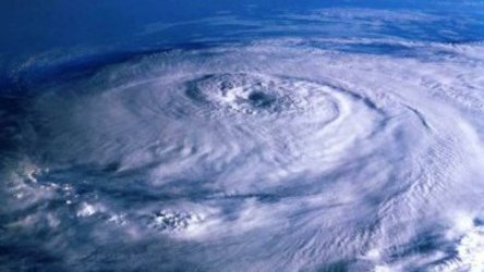
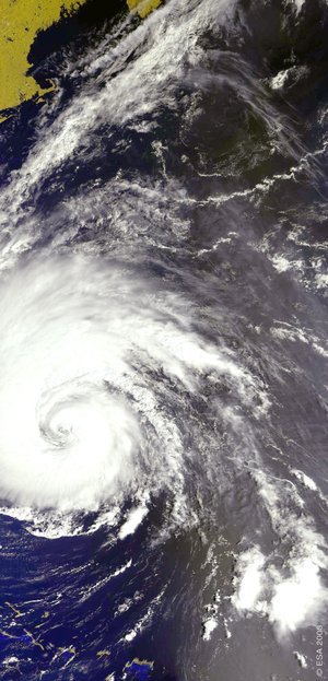
Heavy rainfall and flooding from Typhoon Matsa killed at least 12 people and caused millions of euros worth of damage in China. In Matsa's aftermath, unique data from ESA's ERS-2 spacecraft reveal the interior wind fields powering it at its height.
China's ninth typhoon this year, Matsa first came ashore at Yuhan County in Zhejiang Province on 6 August, with reported winds up to 250 kilometres per hour. Matsa brought heavy rains and serious damage to several coastal provinces and cities – in Zhejiang alone 13 000 houses were destroyed and farmland inundated.
Since downgraded to a tropical storm, Matsa reached Beijing on the evening of 8 August although failed to bring the torrential rainfall that was initially anticipated by the authorities - poised to evacuate thousands from vulnerable areas on the outskirts of the city.

Due to the support of China's Remote-Sensing Ground Station (RSGS), located in Beijing and run by the Chinese Academy of Sciences, scientifically unique information about the interior structure of Matsa at its strongest has been made available to worldwide meteorological offices and scientific users. A detailed picture of the wind speed and direction around the centre of the typhoon was acquired from ESA's ERS-2 on 4 August, when the typhoon was still in the East China Sea.
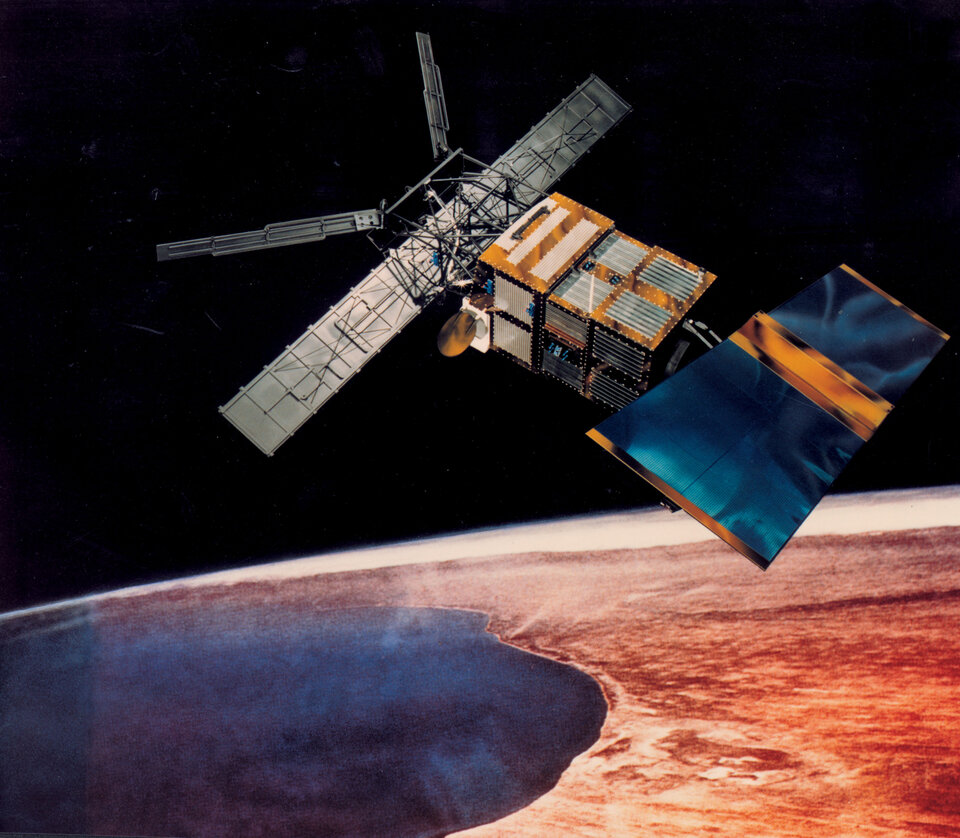
ERS-2 instruments include a C-band scatterometer which works by sending a high-frequency radar pulse down to the ocean, then analysing the pattern of backscatter reflected back again. Scatterometers are particularly useful in measuring wind speed and direction at the sea surface, by detecting signature scatter from water ripples caused by wind.

ERS-2's scatterometer is the only instrument of its type capable of peering through rain and bad weather, and is also able to gather data during both day and night. This makes it very useful as a tool to study the structure of typhoons, hurricanes and other strong storms.
Back in 2001 the spacecraft was struck a blow as the last of its pointing gyroscopes failed. However all instruments were still functioning perfectly, so ESA engineers worked with industry to develop a new 'gyro-less' working mode to resume data delivery.
Then in June 2003 the onboard Low Bit Rate data recorder failed, used to store non-radar image data when out of touch with ESA ground stations. However, recognising the value of this data, international ground stations responded by working voluntarily to collect and distribute ERS-2 results in near-real time.

The Beijing RSGS joined the effort in May 2005, and with NASA's McMurdo Ground Station having began participating around the same time, ERS-2 data are being acquired across all seven continents, with all data acquired from this voluntary group effort shared with the wider meteorological and scientific community.
ERS-2's scatterometer saw service interrupted between 2001 and 2003, due to degradation in the spacecraft's pointing control, but a new algorithm developed by the Belgian Royal Military Academy (RMA) returned it to operational status. This algorithm has been installed in the various cooperating ground stations.
Today, ERS-2 scatterometer data is employed by users worldwide, including the UK-based European Centre for Medium-Range Weather Forecasts (ECMWF), who routinely assimilate its results into their weather prediction models. ECMWF's remit includes the study of worldwide storms, so they have assimilated the Matua scatterometer results in their weather analysis for this time.
"The ERS-2 scatterometer data was - besides a few pressure observations - the only surface data available in the vicinity of the typhoon, and therefore valuable," stated Dr Hans Hersbach of ECMWF. "As a result, the maximum surface wind speed was enhanced from 19.8 metres per second to 21.3 metres per second and the central mean sea-level pressure was deepened by 4.5 millibars. From this analysis, the landfall of Matsu was correctly predicted to be a likely scenario."
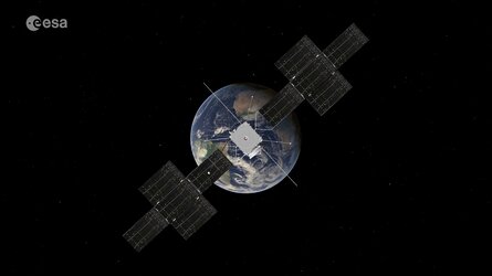
ERS-2 flies on the same orbit but half an hour behind ESA's ten-instrument Envisat environmental satellite, and so offers researchers a means to validate or supplement Envisat observations. Some ERS-2 instruments – its Synthetic Aperture Radar (SAR), Along Track Scanning Radiometer (ATSR) and its atmospheric Global Ozone Monitoring Experiment (GOME) – have counterparts on Envisat, although its scatterometer is unequalled for the time being.
To ensure continuity of C-band scatterometer coverage into the future, a more advanced scatterometer called ASCAT is payload of the payload for the ESA-built MetOp mission, due to launch in 2006.
Typhoon season
A typhoon is the term for a tropical cyclone that occurs in the northwest Pacific or Indian Oceans west of the International Dateline. It is a large, powerful storm that rotates around a central area of extreme low pressure.
Typhoons arise in warm tropical waters that transfer their heat to the air. The warmed air rises rapidly, in the process creating an area of low pressure at the water surface. Winds begin rushing inwards and upwards around this low-pressure zone. Typhoons can form all-year-round in the waters off China, but the peak season comes between June and December.


 Germany
 Austria
 Belgium
 Denmark
 Spain
Spain
 Estonia
 Finland
 France
 Greece
 Hungary
 Ireland
 Italy
Italy
 Luxembourg
 Norway
 The Netherlands
 Poland
 Portugal
 Czechia
 Romania
 United Kingdom
 Slovenia
 Sweden
 Switzerland


