Data flow
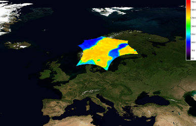
From an altitude of around 758 km, SMOS provides images of brightness temperature to derive global maps of soil moisture and ocean salinity, two key variables in the water cycle.
In order to turn these first observations into meaningful data, there are a number of steps that have to be taken.
This part of the mission involves the ground segment, which essentially consists of two main components: satellite operations and data receiving, processing and storing stations. The CNES French space agency operates the satellite, and ESA coordinates the mission and ground segment operations.
The main ground stations is the Data Processing Ground Segment (DPGS), developed in cooperation with Spain's CDTI (Centro para el Desarrollo Technologico Industrial), at ESA’s European Space Astronomy Centre (ESAC), in Villafranca, Spain.
Here data from the satellite are received and processed, and CNES’ Satellite Operations Ground Segment (SOGS) in Toulouse, France, sends commands to the satellite.
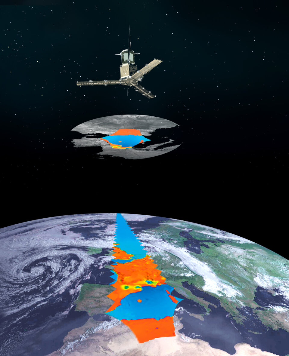
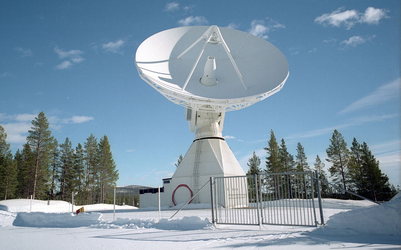
In addition to these facilities, various functions are carried out at other ESA receiving stations. A near-realtime acquisition station is in Svalbard, Norway, and a long-term archive and reprocessing centre is in Kiruna, Sweden.
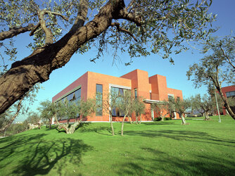
Request for SMOS data is handled at ESA’s Earth Observation Research Centre (ESRIN) in Frascati, Italy.
Once data reach the DPGS they are calibrated, processed, archived and disseminated to users.
There are two parallel processing chains for the scientific and near-realtime data products, the latter of which is distributed to operational users within three hours.
All products are available free of charge to scientific and non-commercial users. More information about accessing data from the SMOS mission is available on ESA’s Earth online website.


 Germany
 Austria
 Belgium
 Denmark
 Spain
Spain
 Estonia
 Finland
 France
 Greece
 Hungary
 Ireland
 Italy
Italy
 Luxembourg
 Norway
 The Netherlands
 Poland
 Portugal
 Czechia
 Romania
 United Kingdom
 Slovenia
 Sweden
 Switzerland


