Salinity matters
Measurements of salt held in surface seawater are becoming ever-more important for us to understand ocean circulation and Earth’s water cycle. ESA’s SMOS mission is proving essential to the quest.
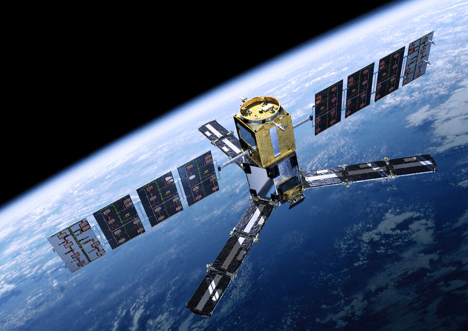
The Soil Moisture and Ocean Salinity satellite, SMOS, is monitoring changes in the amount of water held in the surface layers of soil and concentrations of salt in the top layer of seawater – both of which are a consequence of the continuous exchange of water between the oceans, the atmosphere and the land.
Launched in 2009, SMOS has provided the longest continuous record of sea-surface salinity measurements from space.
The salinity of surface seawater is controlled largely by the balance between evaporation and precipitation, but fresh water from rivers and the freezing and melting of ice also changes the concentrations.

Along with temperature, salinity drives ocean circulation, which, in turn, plays a key role in the global climate.
With a wealth of salinity data from SMOS now in hand complemented by measurements from the US–Argentinian Aquarius satellite, which uses a different technique, scientists gathered recently at the UK Met Office to review the benefits this has brought to science.
Speaking at the Ocean Salinity Science and Salinity Remote-Sensing Workshop, Prof. Dame Julia Slingo, Met Office Chief Scientist, said, “We need to understand the role of salinity in the closure of the hydrology cycle – arguably the weakest point in global climate modelling.
“Salinity, and particularly sea-surface salinity, is a challenging but important topic for ocean circulation and climate variability about which we need to know more, especially given the recent climate-warming hiatus.

“The SMOS mission, now celebrating five years in orbit, is providing detailed global measurements of ocean-surface salinity that are now used to address some of these challenges.”
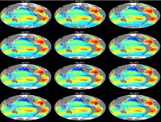
The animation above shows variations in 10-day mean sea-surface salinity using five years of SMOS data.
Nicolas Reul from the French Research Institute for the Exploitation of the Sea, Ifremer, said, “Using SMOS salinity data we have been able to determine and monitor for the first time from space an ensemble of key ocean processes for climate and biochemistry.
“This includes, for example, the detailed salinity structure of tropical instability waves along the equator and the salt exchanged across major oceanic current fronts through energetic ocean rings.
“Occurrences of large-scale salinity anomalies in the Pacific and Indian oceans related to El Niño, La Niña and the Indian Ocean climate were also well-evidenced in the five year-long data.
“In addition, the dispersal of freshwater into the ocean from the major large tropical rivers, namely the Amazon, Orinoco and Congo Rivers, their impact on tropical cyclone intensification and the oceanic imprints of the intense rainfall in the Trade Wind convergence zones can now be regularly monitored to better understand the variability of the oceanic part of the global water cycle.”
Numerous case studies were discussed at the workshop, including results from the ‘SMOS+ Surface Ocean Salinity’ project.
Traditional physical oceanography process studies are now also being addressed using remote sensing.
Roberto Sabia, Earth observation data engineer at ESA, said, “By using SMOS measurements, we are now able to generate surface temperature-salinity diagrams, and relate salinity dynamics with water density.
“Armed with this tool, we are now working towards routinely identifying areas where specific surface-water masses form – water bodies with physical properties distinct from the surrounding water – directly linking satellite measurements of sea-surface salinity with air–sea fluxes and ocean circulation.”

ESA’s Craig Donlon said “SMOS data, along with concurrent in situ Argo ocean-profile data, other satellite observations of sea-surface temperature, sea-surface height, surface-wind stress and ocean colour, are now providing new opportunities to investigate the surface and subsurface ocean mesoscale dynamics.
“Using these different measurements together is the key to yielding further scientific insight into the water cycle.”


 Germany
 Austria
 Belgium
 Denmark
 Spain
Spain
 Estonia
 Finland
 France
 Greece
 Hungary
 Ireland
 Italy
Italy
 Luxembourg
 Norway
 The Netherlands
 Poland
 Portugal
 Czechia
 Romania
 United Kingdom
 Slovenia
 Sweden
 Switzerland


