Surpassing expectations
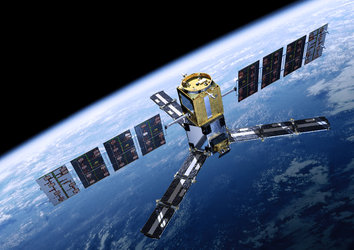
Although SMOS was developed to measure soil moisture and ocean salinity as well as demonstrate the use of new technology, ESA’s water mission has gone above and beyond its original scientific objectives and continues to demonstrate its suitability for new users.
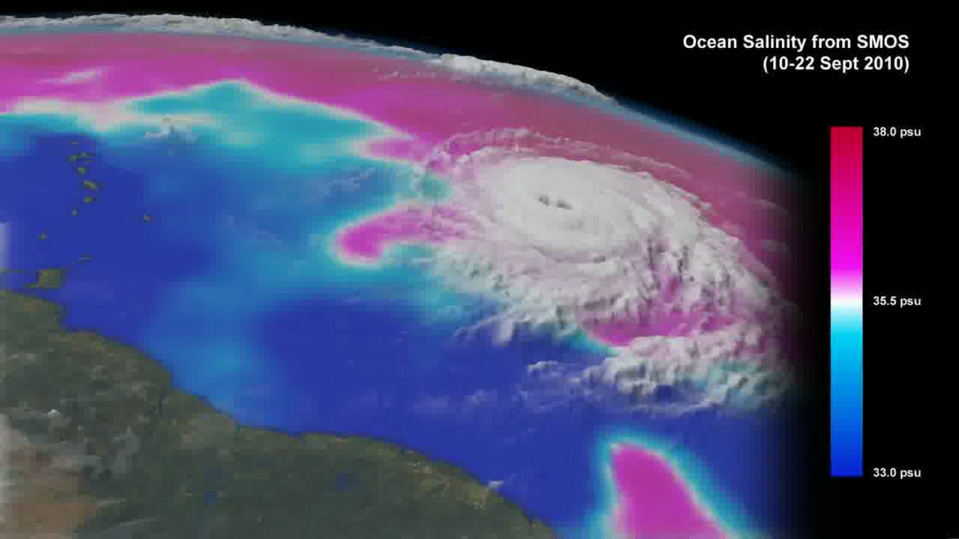
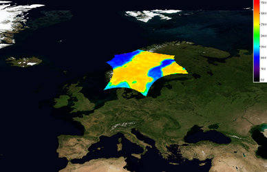
For example, observations of brightness temperature are a totally new source of information for tracking hurricanes. Owing to the effect that surface roughness and foam have on the brightness temperature signal, observations from under hurricanes cannot be used to measure ocean salinity.
However, this effect can be made use of to estimate wind speed just above the ocean surface. This could potentially lead to better forecasts of hurricane strength and direction, thereby helping to make better predictions of where a hurricane may make landfall.
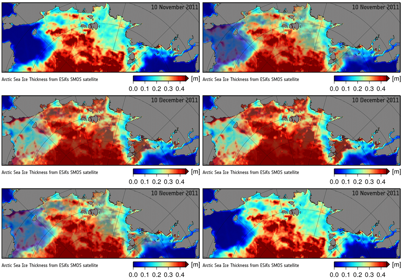
Other examples from this multi-talented mission include being able to provide information to measure thin ice floating in the polar seas accurately enough for forecasting and ship routing.
While it wasn’t designed to measure ice, radiation emitted by the ice allows SMOS to ‘see’ through the surface, yielding ice-thickness measurements down to 50 cm – mainly the thinner younger ice at the edge of the Arctic Ocean. In recent years, this information has been much sought after by operational users and it also complements measurements from CryoSat.
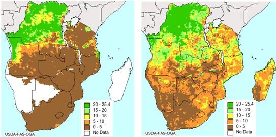
Over land, SMOS is being used by the US Department of Agriculture to predict drought and by the European Centre for Medium-Range Weather Forecasts to help improve air temperature and humidity forecasts.
The mission will remain operational until at least 2017, which will offer more opportunities to look at new scientific and pre-operational applications.


 Germany
 Austria
 Belgium
 Denmark
 Spain
Spain
 Estonia
 Finland
 France
 Greece
 Hungary
 Ireland
 Italy
Italy
 Luxembourg
 Norway
 The Netherlands
 Poland
 Portugal
 Czechia
 Romania
 United Kingdom
 Slovenia
 Sweden
 Switzerland


