Germany
 Austria
 Belgium
 Denmark
 Spain
Spain
 Estonia
 Finland
 France
 Greece
 Hungary
 Ireland
 Italy
Italy
 Luxembourg
 Norway
 The Netherlands
 Poland
 Portugal
 Czechia
 Romania
 United Kingdom
 Slovenia
 Sweden
 Switzerland


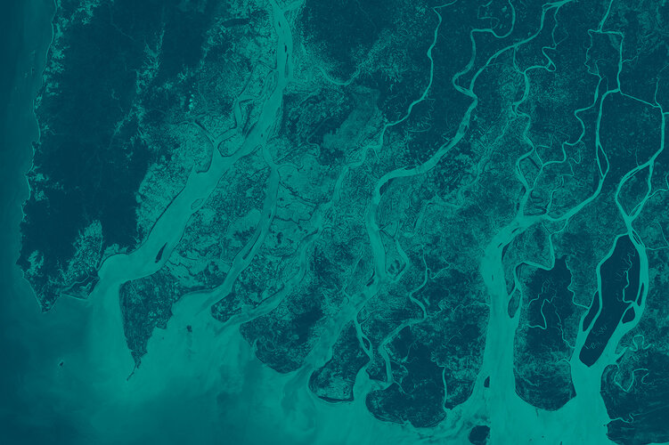
AI for street maps
One of Φsat-2’s AI applications is SAT2MAP which aims to convert satellite images into street maps to identify roads that remain accessible during emergency situations.
The idea behind the application is to be able to supply timely actionable information to ground teams in emergency situations such as floods.
In this scenario, when the satellite orbits over the affected area and acquire images, the images are passed to the onboard processor that will identify relevant information (recognisable streets in this case) and create a corresponding black and white map.
This way, the amount of information that needs to be transmitted to the ground is extremely concise and can be download from the satellite very quickly.

Through a simple and dedicated tool on the ground, the users will be able to overlay the data downloaded from Φsat-2 onto high resolution maps of the area, enabling them to take informed decisions based on the most up-to-date information available.
To further improve this application, it will run ‘chained’ to the cloud detection application that identifies cloud-free areas, making it faster to identify passable streets.
SAT2MAP is developed by CGI Italy, and it is the first application to demonstrate these capabilities over Southeast Asia.