Sweet news from Belgium
Many people know and crave delicious Belgian chocolate, but might not be aware that the Belgian city of Tienen is known as the ‘Sugar City’ of Europe. And satellites are helping to grow the crop that makes our taste buds tingle.
Central Belgium’s Tienen is the home base for one of the world’s biggest producers of sugar beet seeds, SESVanderHave.
A key element to producing world-class sugar beet seeds is tailored agricultural practices with continuous monitoring of the plants during the growing season.
Ensuring detailed monitoring of big farmlands in different parts of the world is expensive and time-consuming and, until recently, dependant on experienced field technicians to gather the information.
Over the last few years, SESVanderHave has been experimenting with satellite technology to assist crop monitoring.
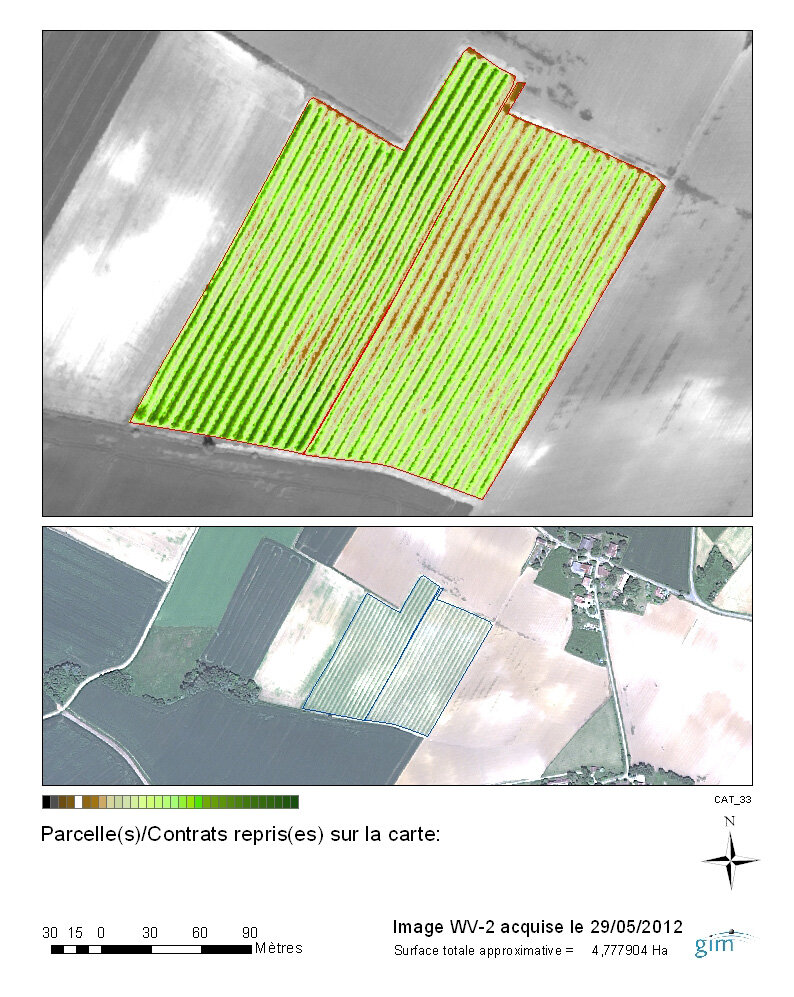
Satellite data can provide information about soil conditions and plant stress. This information is then exploited to optimise field management and, ultimately, plant growth.
“Research and development is the key to being successful in this market,” said Klaas van der Woude, R&D Director of SESVanderHave.
“Investigating what Earth observation satellite technology can bring and how our business can benefit from it is required to maintain our leadership in the sector of sugar beet seed production.”
To test this new method of crop monitoring, specific satellite-derived information products and operational services were provided by the Belgian company GIM, a leading Earth observation value-adding service provider.
Very high-resolution images from satellites with a frequent revisit time were used. GIM then processed this data in near-real time to produce a time series that accurately monitored the crop fields before and during the growing season.
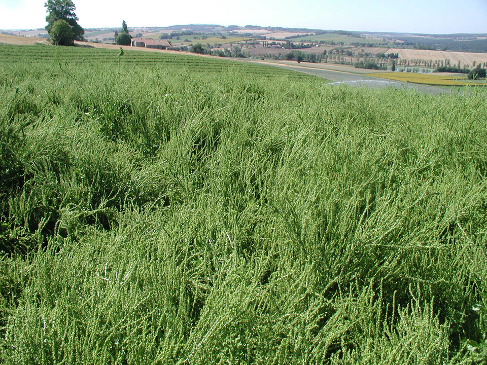
The satellite data provide information about soil nature and suitability, crop health and the crop’s physiological status for better production planning and field management.
Indications of crop conditions are passed on to field technicians for targeted interventions, saving them time and money, and improving the overall seed production process.
Finding the best way of integrating the satellite information with the field technicians’ traditional daily crop management practices is a challenge and will be the focus of the activities during the next monitoring season, fully funded by SESVanderHave.
This project was developed and implemented under the ESA Value-Adding Element (VAE) with additional financial support from GIM and SESVanderHave.
VAE aims to strengthen the capabilities of small, specialised companies in Europe and Canada to provide information services based mainly on Earth observation data.


 Germany
 Austria
 Belgium
 Denmark
 Spain
Spain
 Estonia
 Finland
 France
 Greece
 Hungary
 Ireland
 Italy
Italy
 Luxembourg
 Norway
 The Netherlands
 Poland
 Portugal
 Czechia
 Romania
 United Kingdom
 Slovenia
 Sweden
 Switzerland


