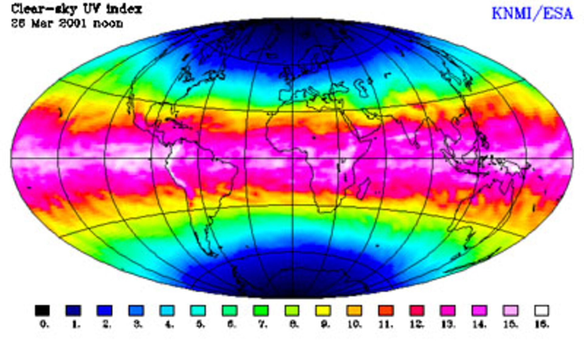
Thanks to ESA, KNMI offers a UV forecasting Service
A unique new service which harnesses satellite data to powerful high-speed computing could soon lead to much improved weather forecasts and help make basking in the sun a lot safer.
The "fast ozone profile" service developed by the Royal Netherlands Meteorological Institute (KNMI) within the ESA Data User Programme is a world first. It can deliver a three-dimensional map of ozone in the atmosphere worldwide within a few hours.

Ozone helps to shield the Earth’s surface - and sunbathers - from the harmful ultraviolet light rays of the sun. If an ozone hole opens above Europe in the summer, for example, then the risk of sunburn and in the longer term, skin cancer, increases dramatically for sun-worshippers at the beach or on the piste alike. The speed of the new service makes it possible to broadcast warnings far more quickly, and to make more accurate forecasts of potential danger.
What matters to sunbathers is the total amount of ozone above their heads. But the new service is more sophisticated still. Rather than simply calculating the amount of ozone in a tower of air reaching from ground to space, the new service can plot a profile of the density of ozone at various altitudes.

"The main reason for making this service available is to enable the creation of improved weather forecasts," says Ronald van der A, a senior project scientist at KNMI. "Ozone moves with the wind in the high atmosphere – we call it a stratospheric tracer. Because we can generate these three-dimensional profiles quickly, we can create moving maps from a series of snapshots, and so start to model the behaviour of the stratosphere much more accurately."
"Three years ago, most people thought that this could not be feasible," remembers ESA’s Claus Zehner, who extended the ERS ground segment to provide GOME measurements very fast to KNMI for the development of this new service to users. "The big challenge is the computation," Ronald van der A explains. "To calculate total ozone, you’re using only part of the spectrum of light scattered back by the Earth’s atmosphere. But to generate the profile, you look at a much wider spectrum, each segment of which corresponds to a ‘backscattering layer’ at a particular altitude in the atmosphere. Again, in itself this is not such a big task - the real breakthrough is to be able to extract this profile information from the data in near real-time. We can publish the profiles with three hours of the data being gathered."

With the Fast Delivery service, data are acquired and processed up to total ozone columns/global maps within three hours after acquisition, and are then used in a model to forecast the ozone and an algorithm is applied to give the UV index, allowing accurate forecasting within 24 hours.
Although it still takes three days to cover the global surface, the near-real-time processing allows a complete global picture to be made available in the same timeframe, which is a major advance over any previous efforts. “Equally”, adds Ronald van der A, "because we can see events developing quickly, if we spot a hole appearing, we can alert local scientists who can then monitor the event hour by hour using equipment carried aboard specially-launched balloons, called sondes."

The service is now live, providing GOME ozone profiles to scientists around Europe including a service to offer UV index forecasting as well. "And we will certainly continue the service when Envisat is launched," emphasises van der A. "The SCIAMACHY instrument aboard Envisat may well allow us to improve the quality still further."
To take a closer look before you decide whether to apply factor 15 or factor 50 sunblock, go to:
Ozone profiles on-line:
http://www.knmi.nl/gome_fd/prof/profile.html
UV-index forecast on-line:
http://www.knmi.nl/gome_fd/tm3/uv.html
Notes for editors
GOME is the Global Ozone Monitoring Experiment aboard the European Remote-Sensing satellite, ERS-2, launched in 1995 and continuing to make an important contribution to environmental monitoring and our understanding of the physical and chemical processes underlying Earth systems, on the global and local scale alike.
SCIAMACHY – the SCanning Imaging Absorption Spectrometer for Atmospheric CartograpHY, is one of the 10 instruments aboard ESA’s new environmental satellite, Envisat, ready for launch this summer.


 Germany
 Austria
 Belgium
 Denmark
 Spain
Spain
 Estonia
 Finland
 France
 Greece
 Hungary
 Ireland
 Italy
Italy
 Luxembourg
 Norway
 The Netherlands
 Poland
 Portugal
 Czechia
 Romania
 United Kingdom
 Slovenia
 Sweden
 Switzerland


