Building Galileo
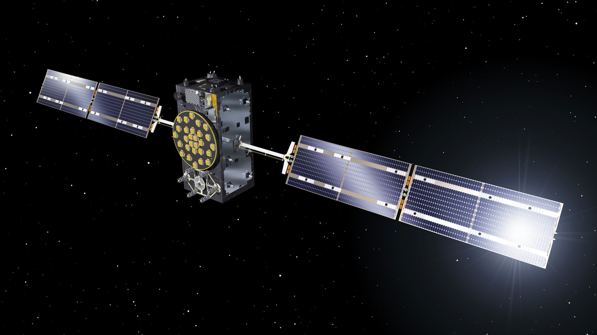
Europe’s own Galileo satellite navigation system has begun operating, with the satellites in space delivering positioning, navigation and timing information to users around the globe. Galileo Initial Services became available to users around the globe on 15 December 2016.
After five years of launches, the satellites in space and a world-spanning ground segment have come together to enable the very first solely European navigation fixes. After five years of launches there are now 18 satellites in orbit.
For receivers to fix location a minimum of four satellites must be visible from anywhere on the planet. Further launches will continue to build the satellite constellation, which will gradually improve the system performance and availability worldwide.
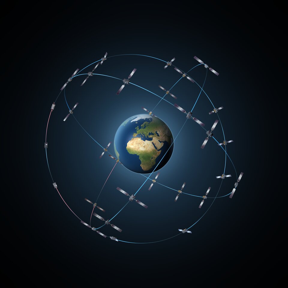
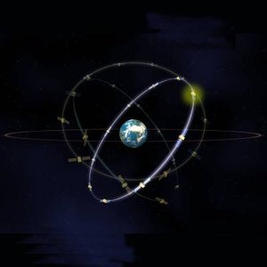
The complete Galileo constellation will consist of 24 satellites plus in-orbit spares along three orbital planes in medium Earth orbit (including two spares per orbit). The result will be Europe’s largest ever fleet of satellites, operating in the new environment of medium-Earth orbit.
A complex process of batch production is preparing the additional satellites needed, taking shape along a Europe-wide production line, leading to Europe’s launch site in French Guiana.

At the same time, worldwide ground stations located in far-flung European territories are needed to monitor the position and performance of the satellites and the atomic clocks – precise to a few billionths of a second – that are at the basis of satnav measurements.
This large-scale multi-faceted effort is being driven by the partnership of the European Commission and ESA.

The initial definition, development and validation phases of the Galileo programme were carried out by ESA on a co-funded basis with the Commission. The current ‘Full Operational Capability’ phase is being managed and funded by the Commission, with ESA having the role of design and procurement agent.


 Germany
 Austria
 Belgium
 Denmark
 Spain
Spain
 Estonia
 Finland
 France
 Greece
 Hungary
 Ireland
 Italy
Italy
 Luxembourg
 Norway
 The Netherlands
 Poland
 Portugal
 Czechia
 Romania
 United Kingdom
 Slovenia
 Sweden
 Switzerland


