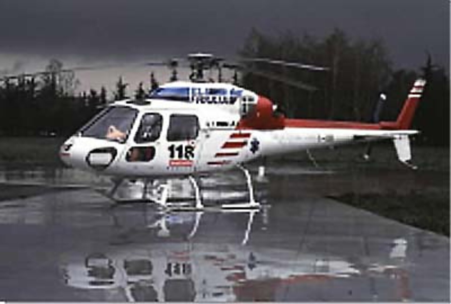
Emergency management and law enforcement
Satellite navigation is already widely used to locate life rafts lost at sea or to keep tabs on explorers heading for isolated and little-known parts. A mobile phone equipped with standard navigation satellite receiver, however, could soon become an everyday item for the elderly or disabled. The knowledge that their precise location will be relayed automatically with a SOS phone message will increase their confidence to get out and about.
Crisis and emergency situations require a joint, coordinated effort by several teams, sometimes in particularly severe environments. In major disasters like earthquakes, floods, landslides and forest fires, the transport and communications infrastructures are probably unavailable, while roads, power lines and water distribution may be damaged or even destroyed. The basic infrastructure itself often has to be restored before aid can be brought to the victims.
Successful relief operations rely on the co-ordination of real-time information on topography, hazard maps, and alternative sources of power, water and any other urgent need. This co-ordination would be provided by a relief organisation control centre, based on pre-disaster information, integrated with updates coming from position data and satellite images.


 Germany
 Austria
 Belgium
 Denmark
 Spain
Spain
 Estonia
 Finland
 France
 Greece
 Hungary
 Ireland
 Italy
Italy
 Luxembourg
 Norway
 The Netherlands
 Poland
 Portugal
 Czechia
 Romania
 United Kingdom
 Slovenia
 Sweden
 Switzerland


