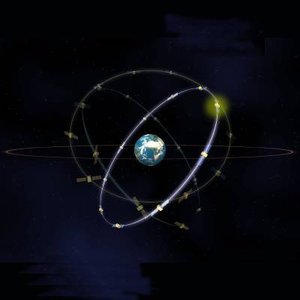
Satellite navigation today
There are two satellite navigation systems already available. The specifications of these two systems are given below.
GPS – United States
GPS - United States
- a standard constellation of 24 satellites
- civil use allowed
- free of charge for the foreseeable future
- 20 m horizontal accuracy 95% of time with selective availability off (16 M horizontal accuracy for military applications)
GLONASS – Russia

- when fully operational a constellation of 24 satellites
- civil use allowed
- free of charge for the foreseeable future
- 60 m horizontal accuracy 99.7% of time
The American GPS and Russian GLONASS satellite constellations were originally designed for military purposes in order to provide military forces with extremely accurate positioning information.
The current capabilities of GPS and GLONASS, although very adequate for some user communities, present some shortfalls. First, the lack of civil international control presents a serious problem from the institutional point of view. Second, GPS or GLONASS cannot meet all civil aviation requirements for precision and non-precision approach phases of flight. In addition, marine and land users will also require some sort of augmentation for improving GPS / GLONASS performances.
The first generation Global Navigation Satellite System (GNSS-1), as defined by the experts of the ICAO/GNSS panel, plans for some system augmentations in addition to the basic GPS and GLONASS constellations in order to achieve the level of performance suitable for civil aviation applications.


 Germany
 Austria
 Belgium
 Denmark
 Spain
Spain
 Estonia
 Finland
 France
 Greece
 Hungary
 Ireland
 Italy
Italy
 Luxembourg
 Norway
 The Netherlands
 Poland
 Portugal
 Czechia
 Romania
 United Kingdom
 Slovenia
 Sweden
 Switzerland


