About ESA
The European Space Agency (ESA) is Europe’s gateway to space. Its mission is to shape the development of Europe’s space capability and ensure that investment in space continues to deliver benefits to the citizens of Europe and the world.
Highlights


Latest


Space in Member States
Find out more about space activities in our 23 Member States, and understand how ESA works together with their national agencies, institutions and organisations.
 Germany
 Austria
 Belgium
 Denmark
 Spain
Spain
 Estonia
 Finland
 France
 Greece
 Hungary
 Ireland
 Italy
Italy
 Luxembourg
 Norway
 The Netherlands
 Poland
 Portugal
 Czechia
 Romania
 United Kingdom
 Slovenia
 Sweden
 Switzerland
Science & Exploration
Exploring our Solar System and unlocking the secrets of the Universe
Go to topicAstronauts


Latest


Enabling & Support
Making space accessible and developing the technologies for the future
Go to topicLatest


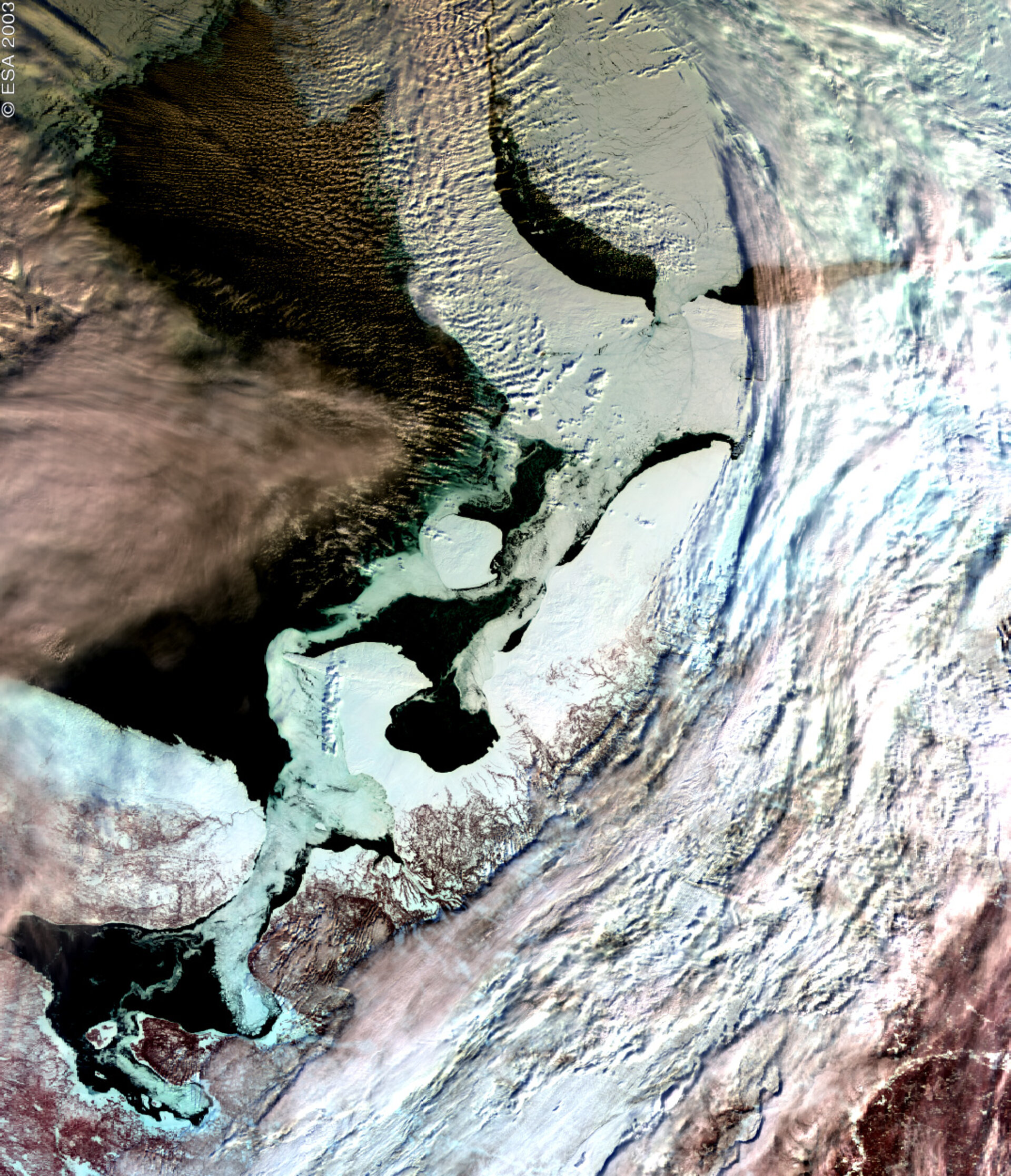
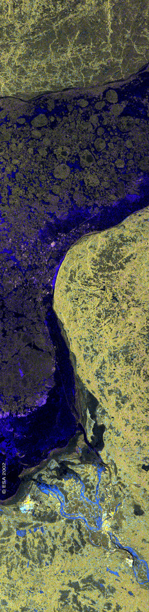
Archangel, northern Russia, 13 March 2003
This is the first Medium resolution Imaging Spectrometer (MERIS) image obtained via ESA’s Artemis data-relay satellite.
The image was acquired on the morning of 13 March over northern Russia. The area shows the coastline around the White Sea, with the City of Archangel to the southwest, opening up into the Barents Sea.
The most prominent aspect of the image is the differentiation between the sea ice, clouds and the open water. Open water in the image is shown as black, where the white/grey areas in the sea represent sea ice. The sea ice can be made out clearly against the land masses particularly around the Kanin Peninsula and to the northeast.
Technical Information:
Instrument: MEdium Resolution Imaging Spectrometer (MERIS)
Date of Acquisition: 13 March 2003
Orbit number: 05400
Instrument features: Reduced Resolution image (1200 - metre resolution)