
Agency
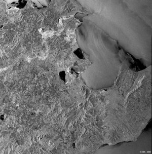
ASAR detail of flooded area
ASAR image from 25 January 2004 showing the flooded area: the green line marks the present lake border and the blue line is the lake border derived from an ASAR image from 12 October 2003. The flooded area is about 11 km².


