About ESA
The European Space Agency (ESA) is Europe’s gateway to space. Its mission is to shape the development of Europe’s space capability and ensure that investment in space continues to deliver benefits to the citizens of Europe and the world.
Highlights


Latest


Space in Member States
Find out more about space activities in our 23 Member States, and understand how ESA works together with their national agencies, institutions and organisations.
 Germany
 Austria
 Belgium
 Denmark
 Spain
Spain
 Estonia
 Finland
 France
 Greece
 Hungary
 Ireland
 Italy
Italy
 Luxembourg
 Norway
 The Netherlands
 Poland
 Portugal
 Czechia
 Romania
 United Kingdom
 Slovenia
 Sweden
 Switzerland
Science & Exploration
Exploring our Solar System and unlocking the secrets of the Universe
Go to topicAstronauts


Latest


Enabling & Support
Making space accessible and developing the technologies for the future
Go to topicLatest


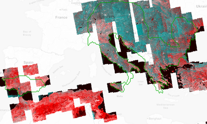
Satellite imagery used for seismic planning
This fly-through covering 500 square kilometres of west central Algeria illustrates the massive amount of varied topographic and geological information that satellites can provide in order to more effectively pre-plan a seismic survey campaign for oil and gas exploration.
It begins with a space-derived Digital Elevation Model (DEM), used for assessing gradient and hence accessibility and safety – note the high limestone outcrop on the east side of the image.
Next comes an enhanced visible image from Landsat data showing ground cover, useful for overall planning. After that appears an ERS-based guide to ground roughness, crucial for good seismic coupling. The roughness shown here corresponds to the weathered limestone outcrop.
Then comes a combination of bands highlighting vegetation, which can be linked to buried water channels that can degrade seismic signals. Next comes a chart of short-wave infrared (SWIR) lithology, highlighting the limestone outcrop in red. Thermal infrared (TIR) can also be utilised to study buried mineral deposits.
Out of these and other potential satellite inputs can come relevant outputs such as this image showing hard rock data quality based on dip, roughness and the presence of limestone. The final image predicts soft rock potential problems – soft rock can cause vibration trucks base plates to sink into it, or absorb part of the seismic signal.