Science & Exploration
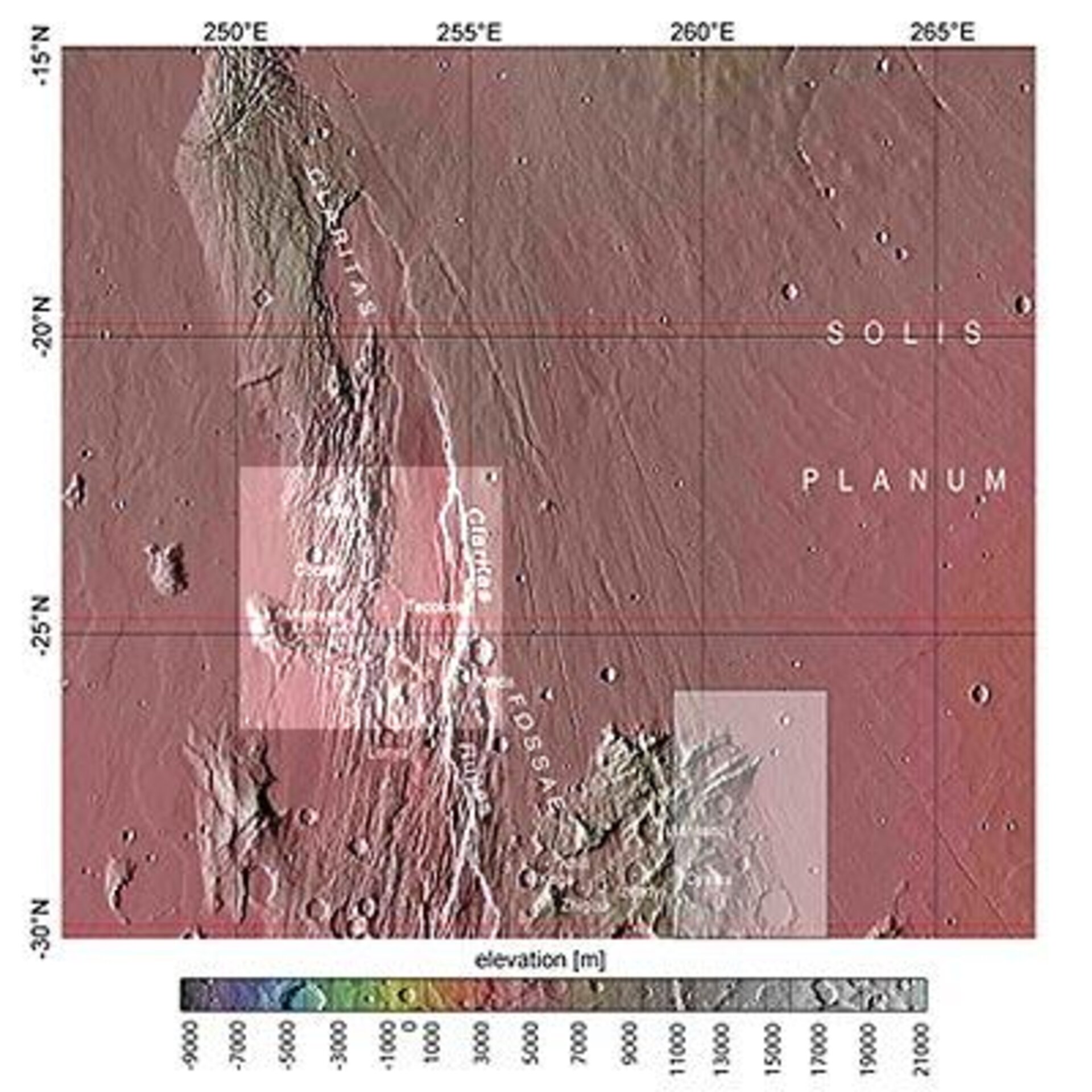
Map showing Claritas Fossae in context
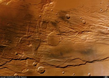
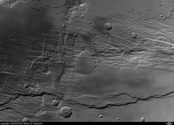
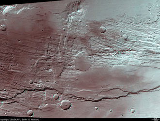
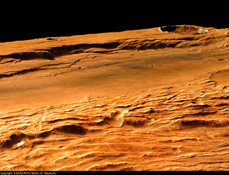
The Claritas Fossae (‘fossa’ is Latin for trough) region is characterised by systems of ‘grabens’ running mainly north-west to south-east. These can be traced several hundred kilometres up to the northern Tharsis shield volcanoes.
The region displayed in the images is the light-coloured area on the left of this context map, a region centred around 25° South latitude and 253° East longitude.
The region shown on the right is a previously featured view of Claritas Fossae.


