
Science & Exploration
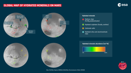
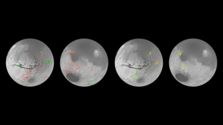
Hydrated minerals in Marwth Vallis on Mars
The left image shows a view of the Marwth Vallis region of Mars, as seen by NASA Mars Global Surveyor’s MOLA instrument. The OMEGA instrument on board ESA’s Mars Express has mapped hydrated sites in this area, as shown in the right image (OMEGA data superimposed on the MOLA map). The hydrated minerals are not found in the channel (blue arrow) as one would expect, but in the eroded flanks and the cratered plateau (red arrow).


