About ESA
The European Space Agency (ESA) is Europe’s gateway to space. Its mission is to shape the development of Europe’s space capability and ensure that investment in space continues to deliver benefits to the citizens of Europe and the world.
Highlights


Latest


Space in Member States
Find out more about space activities in our 23 Member States, and understand how ESA works together with their national agencies, institutions and organisations.
 Germany
 Austria
 Belgium
 Denmark
 Spain
Spain
 Estonia
 Finland
 France
 Greece
 Hungary
 Ireland
 Italy
Italy
 Luxembourg
 Norway
 The Netherlands
 Poland
 Portugal
 Czechia
 Romania
 United Kingdom
 Slovenia
 Sweden
 Switzerland
Science & Exploration
Exploring our Solar System and unlocking the secrets of the Universe
Go to topicAstronauts


Latest


Enabling & Support
Making space accessible and developing the technologies for the future
Go to topicLatest


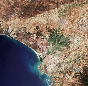
Doñana, Spain
Land use and land cover maps from 1975 (left), 1990 (middle) and 2005 (right) over Doñana, Spain. The maps were created from Landsat data by the Mediterranean Wetland Observatory (MWO) using the GlobWetland II Software Toolbox. Despite a small increase of urban areas (red) during the 30-year period, the natural wetland areas (light purple) expanded by about 26 sq km. This expansion was mainly due to the decrease of agricultural pressure and a creation of new marshlands – in particular, the light yellow area present in the first two maps, but absent in the third.