About ESA
The European Space Agency (ESA) is Europe’s gateway to space. Its mission is to shape the development of Europe’s space capability and ensure that investment in space continues to deliver benefits to the citizens of Europe and the world.
Highlights


Latest


Space in Member States
Find out more about space activities in our 23 Member States, and understand how ESA works together with their national agencies, institutions and organisations.
 Germany
 Austria
 Belgium
 Denmark
 Spain
Spain
 Estonia
 Finland
 France
 Greece
 Hungary
 Ireland
 Italy
Italy
 Luxembourg
 Norway
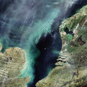
 The Netherlands
 Poland
 Portugal
 Czechia
 Romania
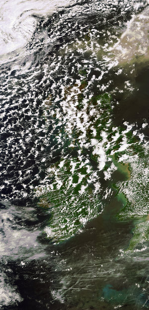
 United Kingdom
 Slovenia
 Sweden
 Switzerland
Science & Exploration
Exploring our Solar System and unlocking the secrets of the Universe
Go to topicAstronauts


Latest


Enabling & Support
Making space accessible and developing the technologies for the future
Go to topicLatest


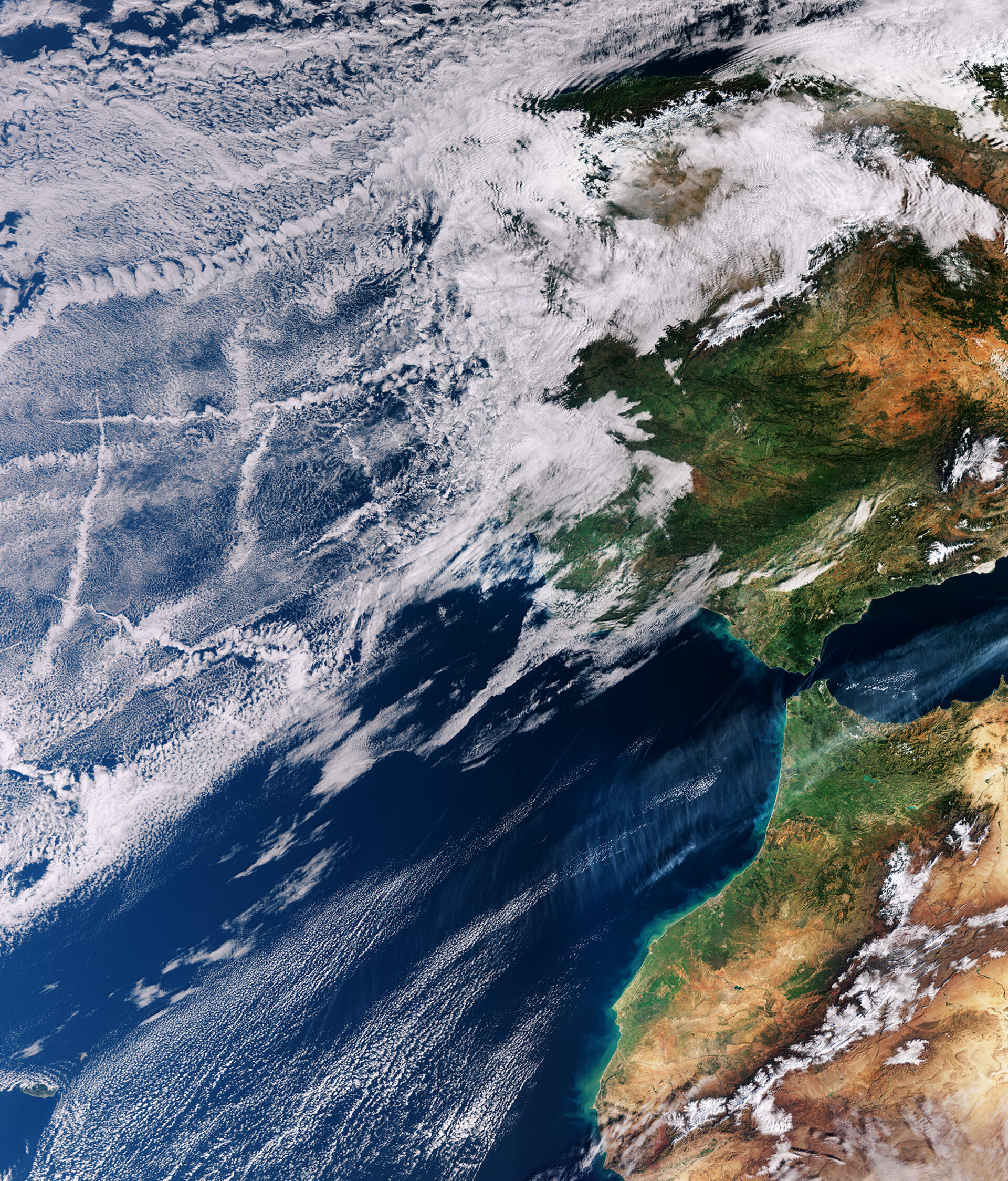
Atlantic ship tracks
The Copernicus Sentinel-3A satellite takes us over the Atlantic Ocean close to Spain and Portugal where the sky not only features clouds but also criss-cross tracks from maritime vessels.
The familiar condensation trails – or contrails – we see in the sky usually come from aircraft, so it might seem strange that ships can also occasionally leave their mark in the sky. This rarely seen maritime twist on aircraft contrails was captured by Sentinel-3A on 16 January 2018. Known as ship tracks, these narrow cloud streaks form when water vapour condenses around small particles that ships emit in their exhaust fumes. They typically form when low-lying stratus and cumulus clouds are present and when the air surrounding the ship is calm.
As the image shows, several shipping lanes intersect off the coast of Spain and Portugal. Although the Strait of Gibraltar is a busy shipping lane, with numerous ships travelling in and out of the Mediterranean Sea, there are no ship tracks visible here in the image. Most tracks are several hundreds of kilometres off shore.
Like aircraft contrails, ship tracks may also play a role in our climate by reducing the amount of sunlight that reaches Earth’s surface or conversely by trapping the Sun’s radiation in our atmosphere – but this remains an uncertain aspect of climate science.
The Copernicus Sentinel-3A satellite carries a suite of sensors including an ocean and land colour instrument, which was used to capture this image, also featured on the Earth from Space video programme.