
Applications
Biomass: Quantifying carbon in forests
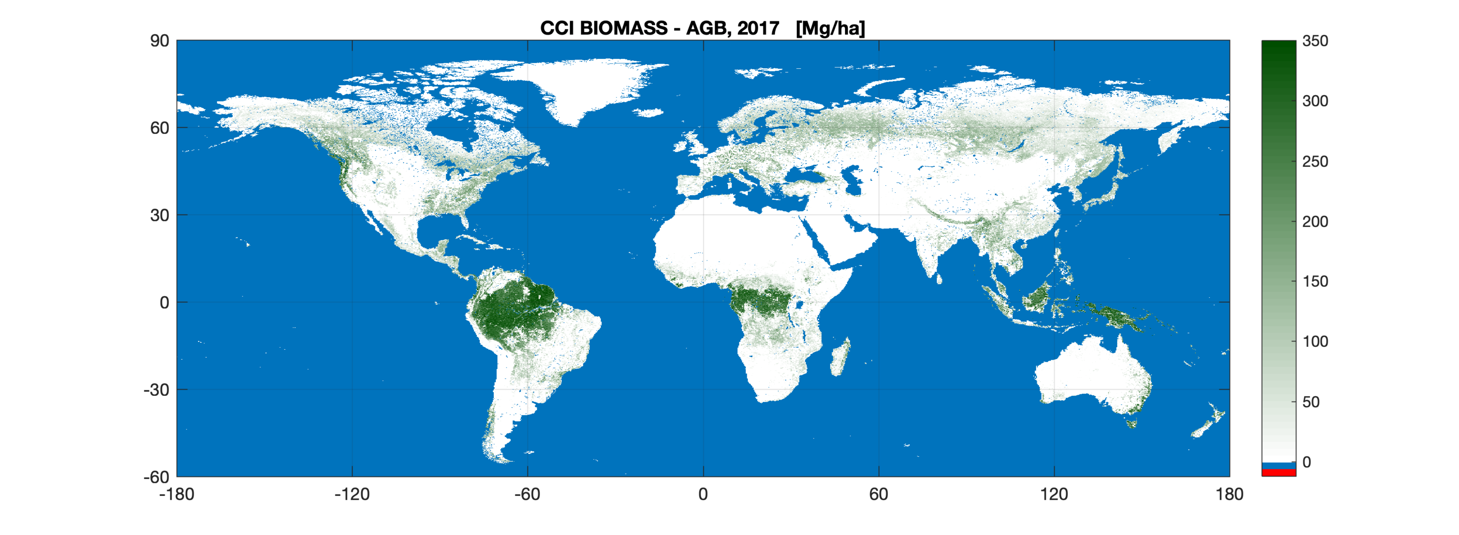
Biomass: quantifying carbon. Satellite data was used to create a map of above-ground Biomass for 2017-18. The new map uses optical, lidar and radar data acquired in 2017 and 2018 from multiple Earth observation satellites, and is the first to integrate multiple acquisitions from the Copernicus Sentinel-1 mission and Japan’s ALOS mission.
Read more: New biomass map to take stock of the world’s carbon


