
Applications
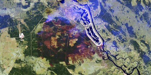
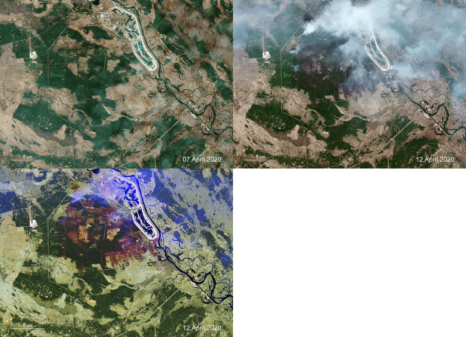
Burned area around Chernobyl site
This map has been generated by the Copernicus Emergency Management Service using an image acquired by Copernicus Sentinel-2 on 12 April 2020. The map shows the burned area around Chernobyl in the Ukraine following an outbreak of wildfires. The Emergency Management Service was activated on 14 April 2020 to help in the response to the fires.


