About ESA
The European Space Agency (ESA) is Europe’s gateway to space. Its mission is to shape the development of Europe’s space capability and ensure that investment in space continues to deliver benefits to the citizens of Europe and the world.
Highlights


Latest


Space in Member States
Find out more about space activities in our 23 Member States, and understand how ESA works together with their national agencies, institutions and organisations.
 Germany
 Austria
 Belgium
 Denmark
 Spain
Spain
 Estonia
 Finland
 France
 Greece
 Hungary
 Ireland
 Italy
Italy
 Luxembourg
 Norway
 The Netherlands
 Poland
 Portugal
 Czechia
 Romania
 United Kingdom
 Slovenia
 Sweden
 Switzerland
Science & Exploration
Exploring our Solar System and unlocking the secrets of the Universe
Go to topicAstronauts


Latest


Enabling & Support
Making space accessible and developing the technologies for the future
Go to topicLatest


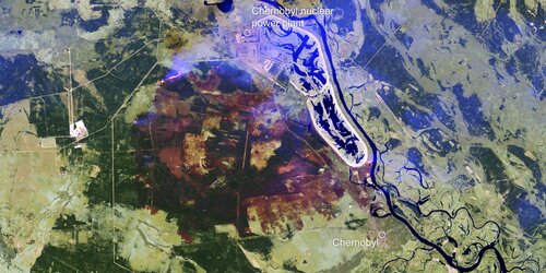
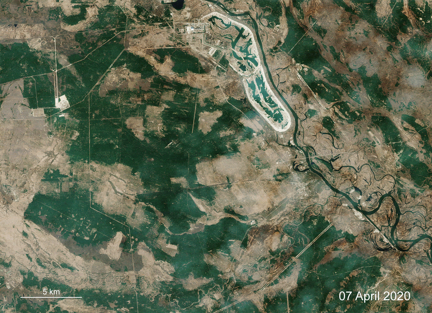
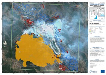
Mapping fire near Chernobyl
This extract of a burned area mapping product was generated by CIMA Foundation and Fadeout using the WASDI processing environment. It is based on images acquired by Copernicus Sentinel-2 on 26 March and 10 April 2020. It shows the burned area around Chernobyl in the Ukraine on 10 April following an outbreak of wildfires. CIMA Foundation is leading an ESA project called eDRIFT that is looking at Disaster Risk Financing using Cloud processing of Copernicus Sentinel imagery.
Read full story: Mapping Chernobyl fires from space