About ESA
The European Space Agency (ESA) is Europe’s gateway to space. Its mission is to shape the development of Europe’s space capability and ensure that investment in space continues to deliver benefits to the citizens of Europe and the world.
Highlights


Latest


Space in Member States
Find out more about space activities in our 23 Member States, and understand how ESA works together with their national agencies, institutions and organisations.
 Germany
 Austria
 Belgium
 Denmark
 Spain
Spain
 Estonia
 Finland
 France
 Greece
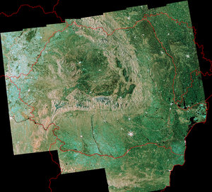
 Hungary
 Ireland
 Italy
Italy
 Luxembourg
 Norway
 The Netherlands
 Poland
 Portugal
 Czechia
 Romania
 United Kingdom
 Slovenia
 Sweden
 Switzerland
Science & Exploration
Exploring our Solar System and unlocking the secrets of the Universe
Go to topicAstronauts


Latest


Enabling & Support
Making space accessible and developing the technologies for the future
Go to topicLatest


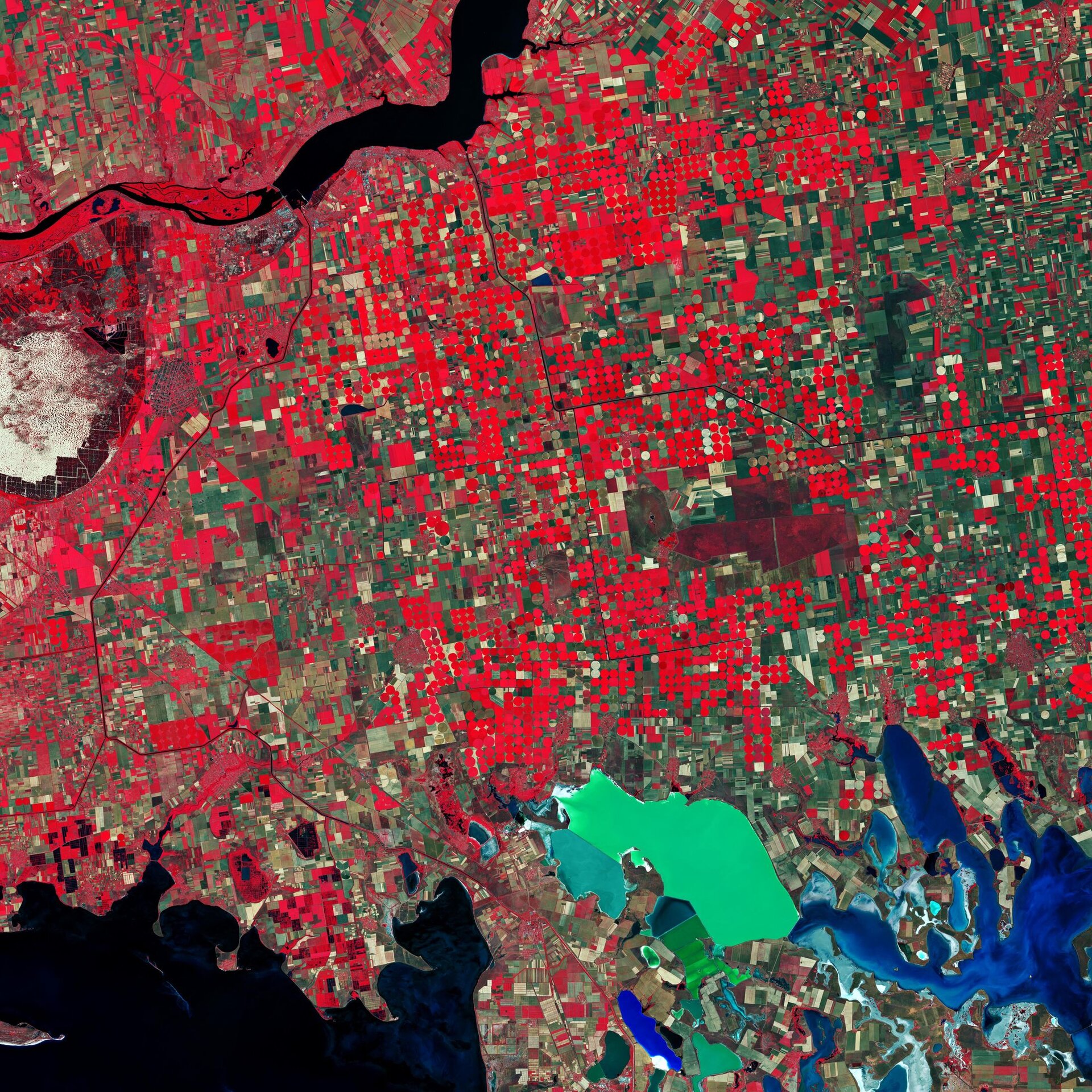
Southern Ukraine
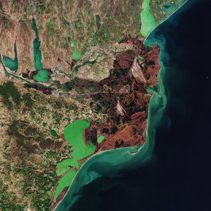
Southern Ukraine is featured in this false-colour image captured by the Copernicus Sentinel-2 mission. This image was processed in a way that included the near-infrared channel, which makes vegetation appear bright red.
Owing to Ukraine’s climate and arable land, agriculture plays a large role in the country’s economy. In this image, captured on 26 June 2019, a patchwork of agricultural fields dominate the landscape. Ukraine’s main grain crops are winter wheat, spring barley and corn.
Circular shapes in the image are an example of centre-pivot irrigation systems, where equipment rotates around a central pivot and crops are watered with sprinklers.
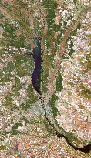
The bright red contrasts with the black waters of the Kakhovka Reservoir on the Dnieper River, visible at the top of the image. Canals are visible as thin, black lines cutting through the agricultural fields, and are mostly used for water supply and irrigation of the surrounding farmlands.
In the far left of the image, the oval-shaped Oleshky Sands is visible. Covering an area of around 160 sq km., this large expanse of sand is considered a small desert in Ukraine. The grassy plains that used to cover the area are said to have died off hundreds of years ago owing to sheep farming – initiating the area’s desertification.
In the bottom-right of the image, a colourful network of salty lagoons lie along the northern border of the Crimean Peninsula. These shallow, marshy inlets are known as Syvash (also Sivash or Sivaš). During summer months, the warmer marsh waters leave unpleasant odours – earning the region the nicknames ‘Putrid Sea’ and ‘Rotten Sea.’
Copernicus Sentinel-2 is a two-satellite mission. Each satellite carries a high-resolution camera that images Earth’s surface in 13 spectral bands. The mission is mostly used to track changes in the way land is being used and to monitor the health of our vegetation.
This image is also featured on the Earth from Space video programme.