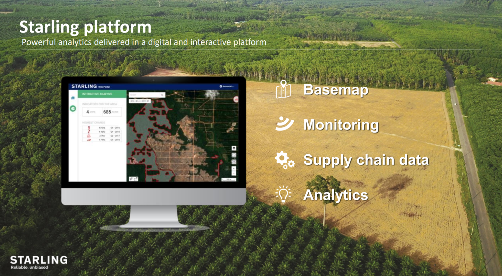
Starling
Presenting Starling, the interactive digital platform using satellite images (including from Copernicus Sentinel-2) and in-situ field knowledge to monitor land cover change and forest cover disturbance in near real-time.
Starling kicked off in June 2017 in Indonesia and Malaysia, where the development of palm oil plantations was driving deforestation. The platform now covers 22 countries around the world, representing seven million square kilometres. Its easy-to-use interface is designed to help users identify changes in forest cover and make informed decisions about where and how to act.
The platform is the result of a collaboration between aerospace company Airbus and the non-profit Earthworm Foundation. Whilst Airbus uses its technology and industrial know-how to process satellite images and distribute Starling worldwide, Earthworm provides on-the-ground expertise and demonstrates to different actors how they can make use of the platform to drive action.
Find out more in our dedicated article.