About ESA
The European Space Agency (ESA) is Europe’s gateway to space. Its mission is to shape the development of Europe’s space capability and ensure that investment in space continues to deliver benefits to the citizens of Europe and the world.
Highlights


Latest


Space in Member States
Find out more about space activities in our 23 Member States, and understand how ESA works together with their national agencies, institutions and organisations.
 Germany
 Austria
 Belgium
 Denmark
 Spain
Spain
 Estonia
 Finland
 France
 Greece
 Hungary
 Ireland
 Italy
Italy
 Luxembourg
 Norway
 The Netherlands
 Poland
 Portugal
 Czechia
 Romania
 United Kingdom
 Slovenia
 Sweden
 Switzerland
Science & Exploration
Exploring our Solar System and unlocking the secrets of the Universe
Go to topicAstronauts


Latest


Enabling & Support
Making space accessible and developing the technologies for the future
Go to topicLatest


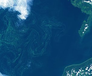
Baltic Sea from Copernicus Sentinel-3
Captured by the Copernicus Sentinel-3 mission on 30 May 2021, this image shows the Baltic Sea and coastlines of the surrounding countries of Denmark, Sweden, Finland, Russia, Estonia, Latvia, Lithuania, Poland, and Germany. Sea-level rise is a major global concern, and using satellites carrying radar altimeters to map sea-level change close to the coast is difficult, especially along complex coastlines such as those seen here. The main problem is because mountains, bays and offshore islands distort the radar signal that is reflected back to the satellite. Another problem is sea ice, which covers parts of the oceans in winter, is impenetrable to radar. However, new research demonstrates how a specific way of processing satellite now makes it possible to determine sea-level change in coastal areas with millimetre per year accuracy, and even if the sea is covered by ice.
Read full story: New satellite data techniques reveal coastal sea-level rise