About ESA
The European Space Agency (ESA) is Europe’s gateway to space. Its mission is to shape the development of Europe’s space capability and ensure that investment in space continues to deliver benefits to the citizens of Europe and the world.
Highlights


Latest


Space in Member States
Find out more about space activities in our 23 Member States, and understand how ESA works together with their national agencies, institutions and organisations.
 Germany
 Austria
 Belgium
 Denmark
 Spain
Spain
 Estonia
 Finland
 France
 Greece
 Hungary
 Ireland
 Italy
Italy
 Luxembourg
 Norway
 The Netherlands
 Poland
 Portugal
 Czechia
 Romania
 United Kingdom
 Slovenia
 Sweden
 Switzerland
Science & Exploration
Exploring our Solar System and unlocking the secrets of the Universe
Go to topicAstronauts


Latest


Enabling & Support
Making space accessible and developing the technologies for the future
Go to topicLatest


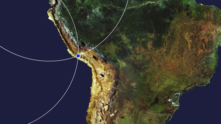
Lima, Peru
Lima, the capital and largest city of Peru, is featured in this Copernicus Sentinel-2 image.
Zoom in to see this image at its full 10 m resolution or click on the circles to learn more about the features in it.
The commercial and industrial centre of Peru, Lima is located on the mostly flat terrain in the Peruvian coastal plain, within the valleys of the Chillón, Rímac and Lurín rivers. The city is bordered on the east by the foothills of the Andes Mountains and on the west by the Pacific Ocean.
Lima can be seen directly on the south bank of the Rímac River, which flows for around 200 km through the Lima Region, before emptying near Callao – a seaside city and port in the Lima metropolitan area (the largest metropolitan area of Peru).
Lima’s historical centre was declared a UNESCO World Heritage Site in 1988 owing to its large number of historical buildings dating from the Spanish colonial era. One of the most notable characteristics of Lima is the barren desert that surrounds the city, with the sand supporting little to no plant life, with the exception of where water has been artificially provided.
Although Lima is located at a tropical latitude, the cool offshore Humboldt Current (also known as the Peru Current) produces a year-round temperate climate. The cooling of the coastal air mass produces thick cloud cover throughout winter and the dense sea mist, known locally as garúa, often rolls in to blanket the city. In this image, captured on 20 April 2020, several cloud formations can be seen dotted along the coast.
Callao is Peru’s main seaport and home to its main airport, Jorge Chávez International Airport. Several small boats and vessels can be seen near the port. Callao has several islands: San Lorenzo Island (currently used as a military base), El Frontón (a former high security prison), the Cavinzas Islands, and the Palomino Islands, where numerous sea lions and sea birds live.
The Copernicus Sentinel-2 mission consists of a pair of twin satellites that orbit Earth once every 100 minutes, together imaging a path on Earth’s surface 580 kilometres wide. The satellites observe in 13 spectral bands – from visible to infrared light – giving various perspectives on land and vegetation. This means that the mission can be used to retrieve a wealth of different information about Earth’s surface.
This image is also featured on the Earth from Space video programme.