
Applications
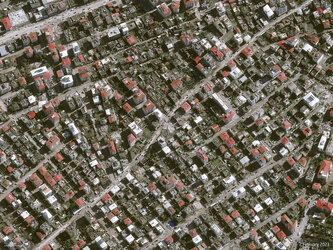
Deformation map over Türkiye and Syria
The image represents the range shift measured using Sentinel-1 acquisitions from 9 February and 28 January. The image was processed using the InSAR processing service integrated by the German Aeronautics and Space Research Centre (DLR) on the Geohazard Exploitation Platform (GEP). The range shift is an estimate of the terrain deformation using the radar signal correlation between the two images called pixel offset tracking.
Read full story: Satellites support impact assessment after Türkiye–Syria earthquakes


