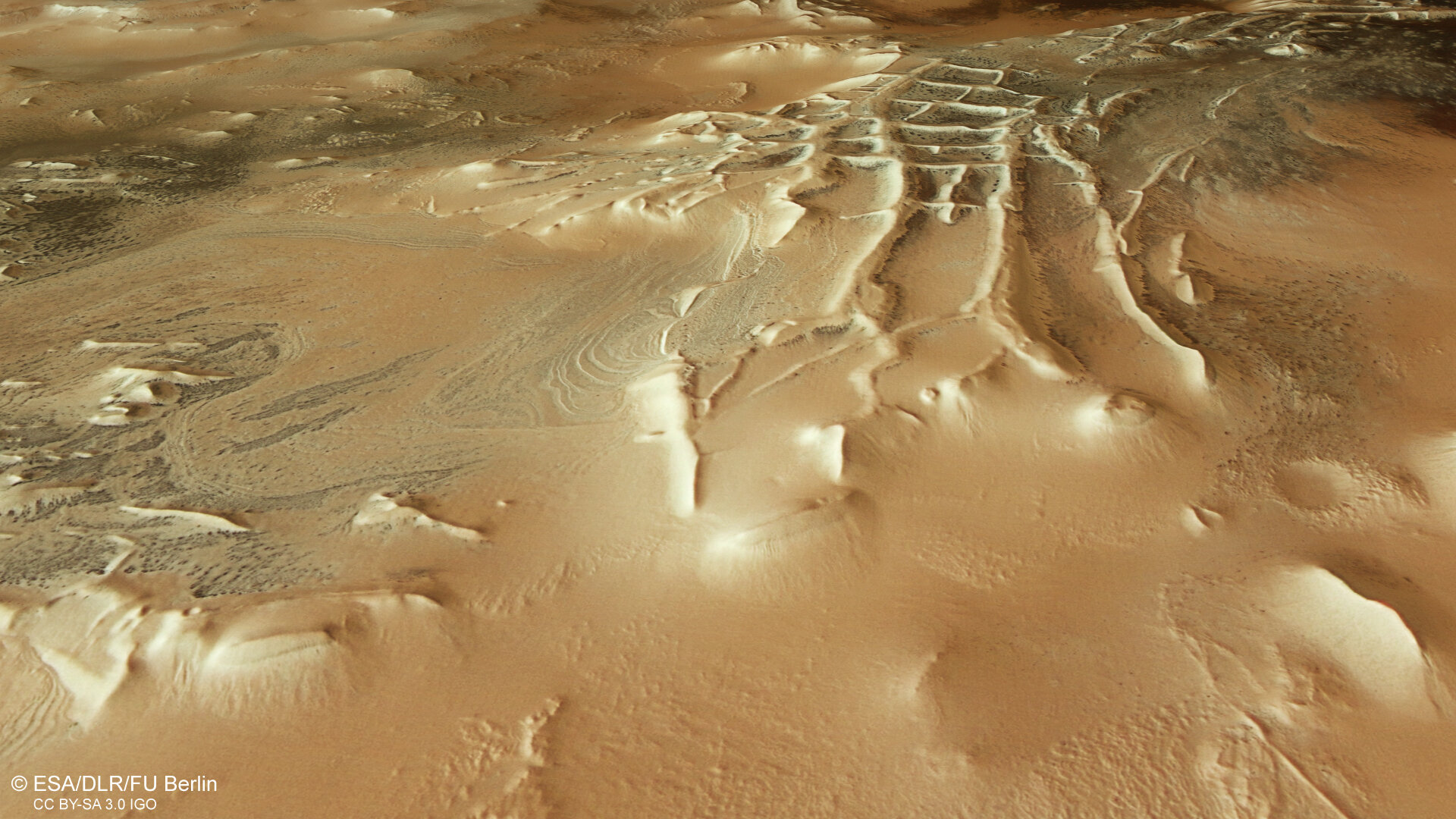

Perspective view of Mars’s Inca City
This oblique perspective view shows a part of Mars nicknamed Inca City. The reason for this is no mystery, with the linear, almost geometric network of ridges being reminiscent of Inca ruins. More formally known as Angustus Labyrinthus, Inca City was discovered in 1972 by NASA’s Mariner 9 probe.
The image was generated from a digital terrain model and the nadir (downward-pointing) and colour channels of Mars Express’s High Resolution Stereo Camera.
[Image description: This rectangular image shows part of the martian surface as if the viewer is looking down and across the landscape, with the ground appearing in swirled tones of brown and tan. Stretching out towards the viewer from the top of the frame is a raised network of linear, grid-like ridges and walls; this structure is Inca City.]


