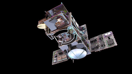
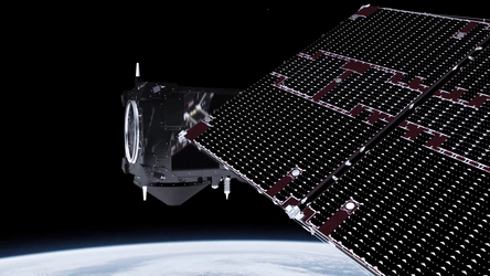
A multitalented mission

Each Sentinel-3 satellite carries four instruments that work in synergy top provide systematic measurements of Earth’s oceans, land, ice and atmosphere. These measurements will be used to monitor and understand large-scale global dynamics and will be used for ocean and weather forecasting.
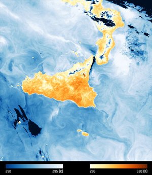
The Sea and Land Surface Temperature Radiometer (SLSTR) delivers high accuracy temperature readings of Earth’s surface at a spatial resolution of 500 m for visible/near-infrared and short-wavelength infrared channels and at 1 km for the thermal infrared channels. It includes two channels for monitoring wildfires. The medium-resolution Ocean and Land Colour Instrument (OLCI) has 21 bands and a spatial resolution of 300 m per pixel to map changing land cover and to monitor ocean biology and water quality. The dual-frequency advanced Synthetic Aperture Radar Altimeter (SRAL) measures sea-surface height, ocean surface waves, sea-ice extent and the height of large inland rivers and lakes. The Microwave Radiometer (MWR) is used to correct measurements from the radar altimeter affected by water vapour in the atmosphere.