About ESA
The European Space Agency (ESA) is Europe’s gateway to space. Its mission is to shape the development of Europe’s space capability and ensure that investment in space continues to deliver benefits to the citizens of Europe and the world.
Highlights


Latest


Space in Member States
Find out more about space activities in our 23 Member States, and understand how ESA works together with their national agencies, institutions and organisations.
 Germany
 Austria
 Belgium
 Denmark
 Spain
Spain
 Estonia
 Finland
 France
 Greece
 Hungary
 Ireland
 Italy
Italy
 Luxembourg
 Norway
 The Netherlands
 Poland
 Portugal
 Czechia
 Romania
 United Kingdom
 Slovenia
 Sweden
 Switzerland
Science & Exploration
Exploring our Solar System and unlocking the secrets of the Universe
Go to topicAstronauts


Latest


Enabling & Support
Making space accessible and developing the technologies for the future
Go to topicLatest


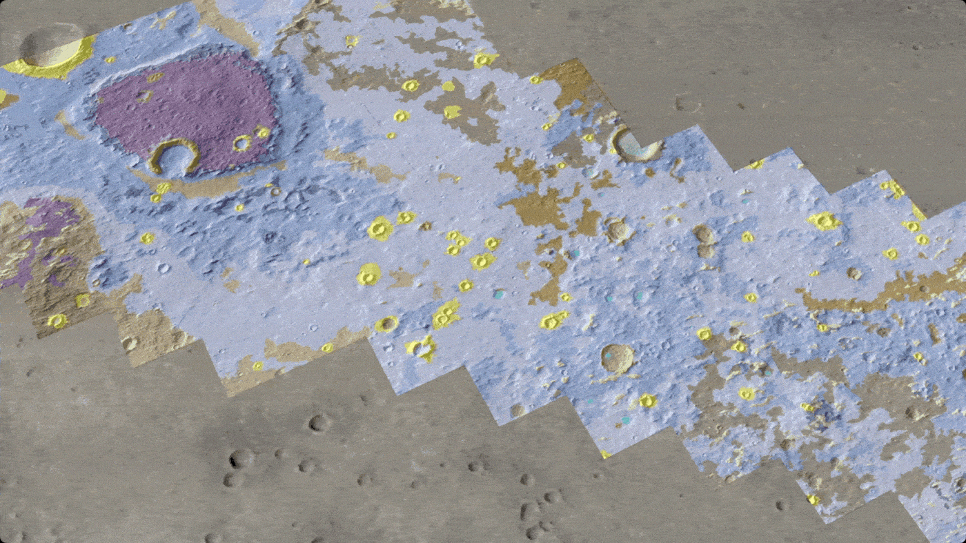
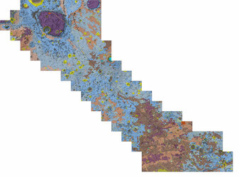
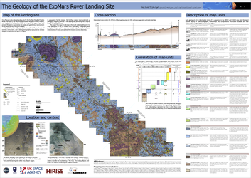
Oxia Planum geological map

A team of European scientists have published the most detailed geologic map of Oxia Planum – the landing site for ESA’s Rosalind Franklin rover on Mars. This thorough look at the geography and geological history of the area will help the rover scout the once water-rich terrain, in the search for signs of past and present life.
The map gives scientists a head start before Rosalind Franklin lands there in 2030. Four years in the making, this map identifies 15 geological units with characteristic features that can help decide how the rover explores the area, interprets its surroundings, and tries to collect evidence of primitive life.
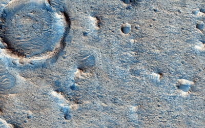
Oxia Planum is located near the martian equator and contains sedimentary deposits that are nearly four billion years old.
The map includes the main types of bedrock, and structures with distinct shapes like ridges and craters. It even features the material that rests on top, for example blown by the wind, or thrown long distances when meteorites impacted the surface. The shape model of the surface on which the map is shown here was generated from orbital images by a painstaking process. In some places, long and straight ‘stripes’ can be seen as a result of this processing.
Data came from the Colour and Stereo Surface Imaging System (CaSSIS) onboard the ExoMars Trace Gas Orbiter and several instruments on NASA’s Mars Reconnaissance Orbiter (MRO), including the HiRISE camera, which returns images from Mars orbit at 25 cm per pixel.
For more information, visit the ExoMars website: www.esa.int/exomars.