


 Germany
 Austria
 Belgium
 Denmark
 Spain
Spain
 Estonia
 Finland
 France
 Greece
 Hungary
 Ireland
 Italy
Italy
 Luxembourg
 Norway
 The Netherlands
 Poland
 Portugal
 Czechia
 Romania
 United Kingdom
 Slovenia
 Sweden
 Switzerland


Test Beds & SW Tools
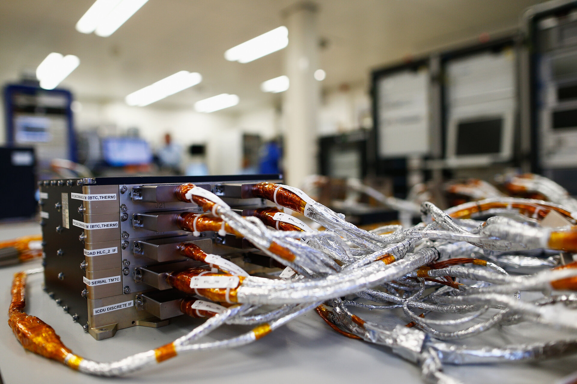
Septentrio Test User Receiver (TUR-N)
The FOC TUR-N receiver is procured in the context of the Galileo System Validation and Verification activities. It is a multi-frequency, multi-constellation Test User Receiver platform designed to allow a high degree of flexibility and to emulate different classes of receivers.
The FOC TUR-N is up-to-date with the latest evolutions of Galileo FOC2, such as OS-NMA, E6 encryption and I/NAV improvements: Reduced CED, Reed Solomon and Secondary Synchronization Pattern for more robust clock and ephemeris data reception and faster time Synchronisation with the Galileo system time.
The FOC TURN is also pioneering the implementation of the Open Service Navigation Message Authentication (OSNMA). The service is intended to provide the end-users receiver with the capability to verify the authenticity of the received navigation messages broadcast by the Galileo satellites.
The FOC TURN also hosts the capability to record base-based I/Q data on internal drive or external SSD (up to 5 hours recording single frequency at 60MHz sampling).
Mass-Market GNSS Receivers

A complete set of state-of-the art multi-constellation multi-frequency mass-market receivers including Galileo are tested in the Navigation Laboratory.
Tests are based on simulated scenarios and live campaigns on-field (urban, sub-urban and rural environments) with vehicular and pedestrian users.
IFEN SX3 SW Receiver

The SX3 SW receiver is a modular Dual-RF Multi-GNSS Software Receiver. Its main characteristics are:
- High configurability due to SW based implementation
- Baseband API, for insertion of baseband signal processing
- Sensor API, for insertion of sensor data processing
- Assistance API, for access to Navigation data
- Dual-RF input (2+2 RF chains, GPS/Galileo L1/L5) for
- Simultaneous use with two antenna sources.
It is meant as a rapid prototyping solution for the development of state of the art GNSS receivers and it is commercialised by IFEN GmBH.
Goose Receiver

The GOOSE platform is an FPGA based GNSS receiver. It is therefore flexible in processing new or proprietary signals. It comprises 60 hardware channels in real time and provides an open software interface for customer applications. GOOSE grants deep access to the hardware interface, down to e.g. integrate and dump value levels. Additionally, the intermediate frequency signals can be recorded, processed and replayed with the platform.
GOOSE is meant as a rapid prototyping solution for the development of state of the art GNSS receivers.
The platform is dedicated to software developers, mobile communication operators, and system developers. Four separate components characterize the platform: a multi-frequency GNSS antenna, an analogue-frontend board, a baseband board, and the processor system.
The GOOSE© Technology is licensed by Fraunhofer IIS, Germany and commercialised by TeleOrbit.
Space GNSS Receivers Test-Bed

Moon GNSS receiver and Lunar Radio Navigation System simulator
Software simulation tools are available to assess the navigation performances that a Moon user (spacecraft in a Moon Transfer Orbit, lunar orbiter, lunar lander, rover, human) could reach based on radio navigation satellite systems. Leveraging on a combination of the software tools Matlab and STK (Systems Tool Kit), the reception of navigation signals based on current (1) and future potential navigation systems (2) can be evaluated
- A first simulation environment allows the user to compute the standard navigation performances metrics (DOP, signal availability, received power levels, etc.) for a Moon user relying on Earth-GNSS, i.e. Galileo, GPS, Glonass and/or Beidou. Care was given to use realistic GNSS transmitter antenna patterns, i.e. taking into account the antenna sidelobes and their asymmetry over azimuth, becoming relevant for users located beyond the Earth-GNSS constellations altitudes.
- Based on a similar architecture, a second environment was built aiming at designing a lunar navigation satellite system relying on the most stable lunar orbits and optionally radio beacons on the lunar surface. This tool enables the user to create various configurations of satellite systems and to evaluate the resulting navigation performances of the selected user.
RUAG PODRIX EM GNSS SPACEBORN RX

The Space GNSS receiver test bed, within the Navigation Lab, is equipped with an Engineering Model (EM) unit of a PODRIX space receiver manufactured by RUAG. This space receiver is on-board a number of ESA missions including Sentinel-1, Sentinel-2, Sentinel-3, Swarm, EarthCare, and will be included in future missions like Sentinel-6. This EM can be used to assess the performance of the GNSS receiver can be tested in the lab environment, either connected to a roof-antenna (live-signal tests) or in orbital conditions using a RFCS (RF Constellation Simulator) as well as for event investigations.
EGNOS V3 RIMS
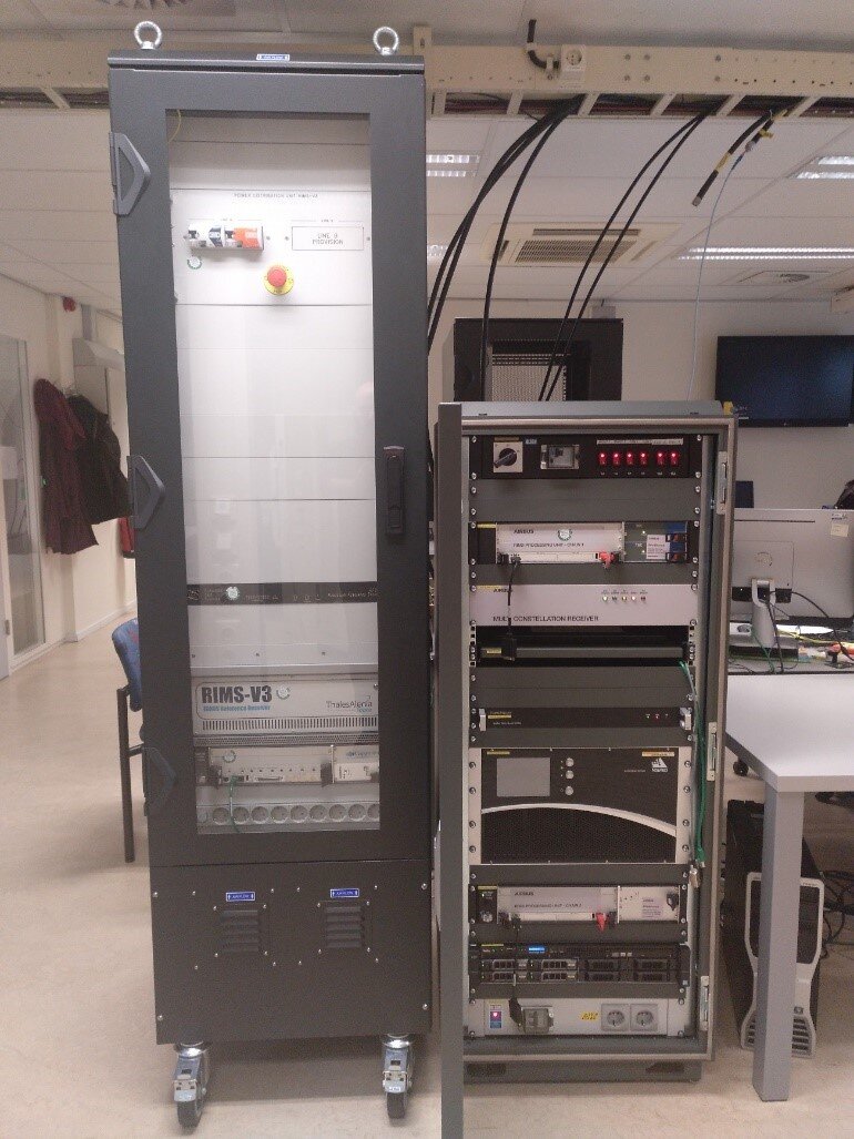
Two predevelopment chains for the evolution of the EGNOS RIMS sensor stations are available at the Navigation Laboratory for testing. They were procured in the frame of two parallel EGEP activities. Examples of studies performed on the receivers are based on live tests and simulated scenarios using the different signal simulators and software simulation tools available in the lab. They include:
-Signal processing with Dual Polarization Antenna (e.g. multipath, interference rejection)
-Evaluation of the performance under Ionospheric Scintillation
-Evaluation of the Multipath Error Computation and Correlation on site
-Site RF Environment characterization
- Evaluation of signal quality monitoring and detection of Evil Waveforms
UERE Monitoring Facility (UMF)

The UMF is responsible for determination of the User Equivalent Range Error (UERE) and User Equivalent Range Rate Error (UERRE) budgets and the decomposition into their various components.
The NavLab hosts 4 instances of the UMF: 2 fixed (OS and PRS) and 2 mobile (OS and PRS).
Software Tools
STK (AGI)
STK or Systems Tool Kit is a powerful simulation environment, implemented by Analytical Graphics, Inc. The capacity to propagate objects in Space based on various force models and the wide range of available embedded data providers makes this software package a great resource for space engineers to design their space mission and share results in one integrated environment. It is of particular interest in the field of navigation since it allows the assessment of satellite systems in terms of navigation performances. Currently, STK is extensively used within the TEC-ESN navigation section of ESTEC for two different projects:
- In the context of lunar navigation, STK supports both the assessment of the capability of using a Spaceborne GNSS receiver at lunar altitudes, with a focus on Galileo and GPS, aboard various upcoming moon missions as well as the design of a new navigation system around the moon, integrating various navigation transmitter types, i.e. Earth GNSS, lunar satellites and lunar beacons.
- In the Galileo Second Generation (G2G) project, STK helps to assess the user performance in Galileo MEO and Non-MEO orbits.
FLIGHT
Flight is a software developed by Astri Polska that allows to perform on-ground testing of space GNSS receivers. It allows to connect to the receiver to update the receiver's configuration and log telemetry data, as well as to control a Spirent RFCS and log data from it. The SW currently supports testing of PODRIX receiver and to some extent GNSS-SDR based CubeSat receivers.
PNT2
PNT2 is a development framework for the implementation and assessment of advanced and robust PVT engines/solutions/techniques representative of mass-market receivers, focusing on the operation in harsh propagation conditions. The PNT2 tool is used to give the user insight in the effect of different estimator settings on the PVT accuracy. The PVT solution is compared to the receiver from which the observables are used and a more accurate reference solution (for which an inertial measurement unit is used). This reference solution is referred to as the SPAN solution. In this way the influence of different settings (but also the development new features) can be easily assessed.

LOS/NLOS Detection using Fisheye Camera
The ESA multimedia van is equipped with a fisheye camera with a field-of-view of 187 by 128 degrees. A SW tool has been implemented, which takes the camera footage in input and segments it into sky and non-sky regions. Consequently the satellites mapped to the sky region are considered to be line-of-sight (LOS), and the satellites mapped to the non-sky region are considered non-line-of-sight (NLOS).
The picture shown here is an example of this segmentation in a deep urban scenario (Rotterdam, the Netherlands).
Multi-System PPP (MSP3)
MSP3 (Multi-System PPP) processing tool is the result of an ESA TRP contract and it is based on a Multi-GNSS, multi frequency PPP solver with a Sequential Extended Kalman Filter (EKF), uncombined observations and iono-weighted model. It can be fed with Rinex observation files.
MSP3 is one of the few PPP solver available for all the main MEO GNSS constellations and frequency and it is used in many test campaigns (e.g. mass-market, Android phones and professional receivers).
