Instrument
Sentinel-2’s high-resolution multispectral instrument is based on well-established heritage from France’s SPOT missions and the US Landsat satellites.
Nevertheless, ensuring that they meet users’ exacting requirements has been a challenging task. The multispectral imager is the most advanced of its kind – in fact, it is the first optical Earth observation mission of its kind to include three bands in the ‘red edge’, which provide key information on vegetation state.
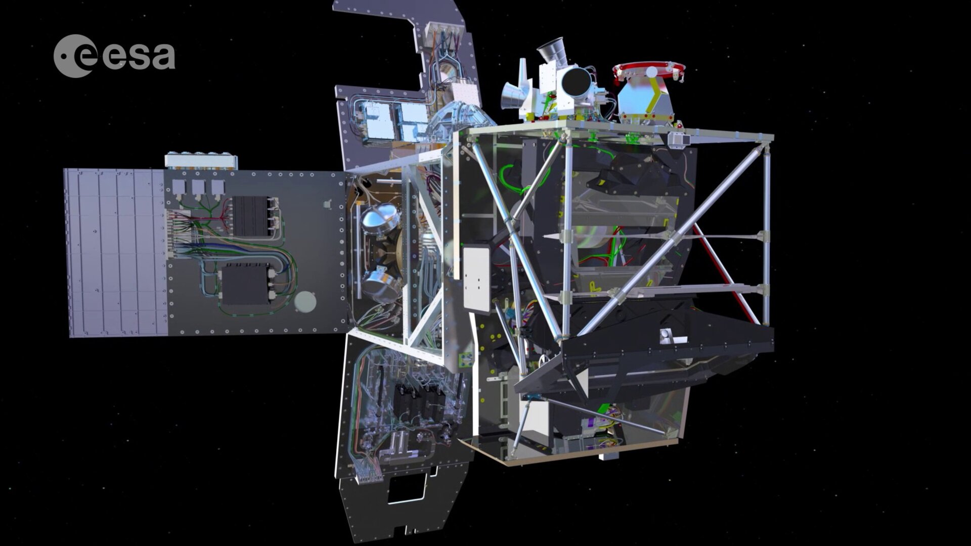
This advanced imager uses a push-broom concept and its design has been driven by the large 290 km-swath requirements together with the high geometrical and spectral performance required of the measurements.
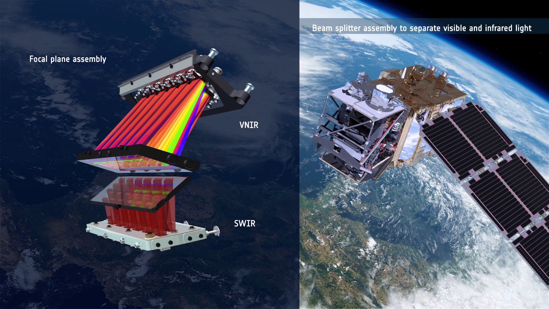
It integrates two large visible near-infrared and shortwave infrared focal planes, each equipped with 12 detectors and integrating 450 000 pixels.
Pixels that may fail in the course of the mission can be replaced by redundant pixels. Two kinds of detectors integrate high-quality filters to isolate the spectral bands perfectly. The instrument’s opto-mechanical stability must be extremely high, which has meant the use of silicon carbide ceramic for its three mirrors and focal plane, and for the telescope structure itself.


Access the video
The geometric performance has to have strong uniformity across the focal planes avoid image distortion. The radiometric performance excluded any compromise regarding stray light, dictating a tight geometry and arrangement of all the optical and mechanical elements. The instrument is equipped with a calibration and shutter mechanism that integrates a large spectralon diffuser.
Each satellite has a high level of autonomy, so that they can operate without any intervention from the ground for periods of up to 15 days.
The ‘carpet mapping’ imaging plan requires acquisition, storage and transmission of or 1 TB per day. This massive data blast results from the combination of the 290 km swath with 13 spectral channels incorporating four visible and near-infrared bands at 10 m resolution, six red-edge/shortwave-infrared bands at 20 m and three atmospheric correction bands at 60 m.
The result is optical imagery that is the backbone for many applications in Earth observation.


 Germany
 Austria
 Belgium
 Denmark
 Spain
Spain
 Estonia
 Finland
 France
 Greece
 Hungary
 Ireland
 Italy
Italy
 Luxembourg
 Norway
 The Netherlands
 Poland
 Portugal
 Czechia
 Romania
 United Kingdom
 Slovenia
 Sweden
 Switzerland


