Shedding light on shallow waters
Keeping an eye on our waters is more important than ever, as widespread drought continues to sweep Europe this summer.
Earth’s changing sea levels are crucial indicators of how our environment is fairing, but monitoring it manually can be a labour-intensive, expensive, and at times even dangerous task.
Coastal areas provide additional complications, as shifting seabeds and currents make creating accurate and consistent water depth maps – also known as bathymetry – almost impossible.
Satellites are ideally placed to address this challenge, however.

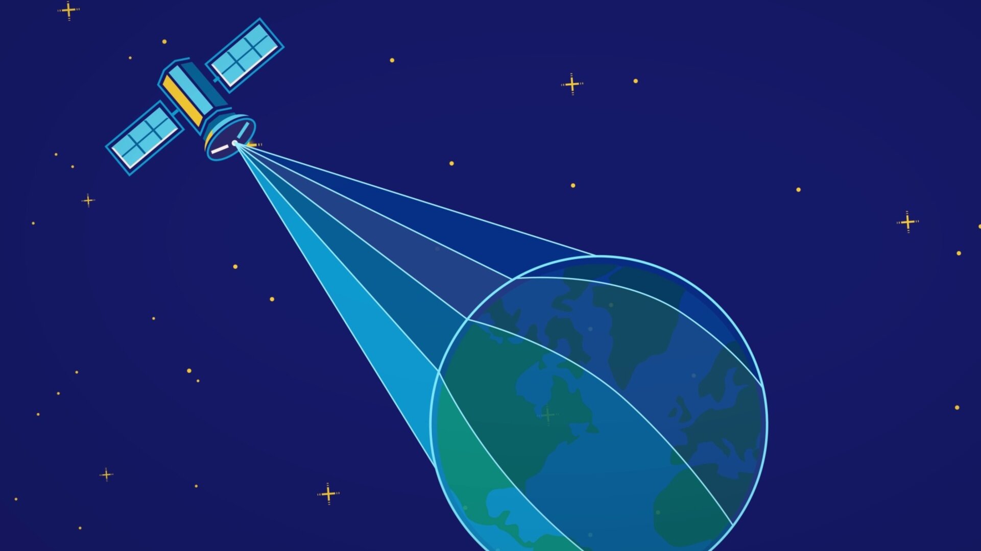
Low-orbiting satellites equipped with light-measuring sensors can record how much light is reflected off the seabed, gathering and updating the information continually as they fly over.
An ESA-backed group, led by TCarta, has developed a way of using this data to produce water depth maps, and make them available to anyone who could use them.
Richard Flemmings, Operations Director for TCarta, said: “The team applies computer algorithms to satellite imagery from sources like Landsat, Sentinel-2 and DigitalGlobe’s WorldView constellation.
“These algorithms analyse the images’ light frequency from different parts of the satellite’s spectral range, and work with existing points of reference, such as confirmed results drawn from similar readings elsewhere, and knowledge on how different types of seabed reflect the light.
“These products are hosted on the Bathymetrics Data Portal, which provides ready-made, instantly available and high resolution bathymetry at a fraction of the cost of traditional methods.”
Different satellites can generate different resolution images, with Copernicus’s Sentinel-2 wide swath high-resolution multispectral imager producing around 10m, for example, although the portal also hosts resolutions of up to 2m.

Detailed information on water levels that can be obtained immediately is extremely valuable for environmental agencies, but also has other uses.
Industries that conduct their business in or through the water require this kind of data to do so in the safest and most cost-effective manner.
Energy infrastructure development, for example, requires up-to-date information on water depths over large areas to identify the best routes to lay pipes, while port construction needs reliable and long-term data for a concentrated location, in order to plan when and how the structure should be built.
The Bathymetrics Data Portal was launched with help from ESA’s Business Applications programme, which co-funded an earlier, demonstration version.
ESA’s Business Applications programme is the mark of Europe’s best commercial ventures powered by Space. It is the commercial arm of the European Space Agency and aims to prove that space is open for business with the power to improve everyday life.
Since the programme’s inception in 2008, ESA Business Applications has invested more than €200M in over 500 business ideas addressing markets in industries worldwide, like the Bathymetrics Data Portal.
Typical funding ranges from €60k to €2M and is used from early stage feasibility studies to large-scale demonstration projects.


 Germany
 Austria
 Belgium
 Denmark
 Spain
Spain
 Estonia
 Finland
 France
 Greece
 Hungary
 Ireland
 Italy
Italy
 Luxembourg
 Norway
 The Netherlands
 Poland
 Portugal
 Czechia
 Romania
 United Kingdom
 Slovenia
 Sweden
 Switzerland


