Sobre o Eduspace O que é o Eduspace?Que ferramentas oferece? Escolha o seu idioma… Princípios de Detecção Remota O que é a detecção remota?Detecção remota em profundidadeHistória da observação da TerraCartografia e dados de satéliteÓrbitas dos satélitesSatélites de Observação da Terra Recursos… Multimédia Earth images galleryGaleria de ImagensGaleria de VídeoServiços Contact usPesquisa em Eduspace
|  | | | | | | | Article Images |  |
As plataformas
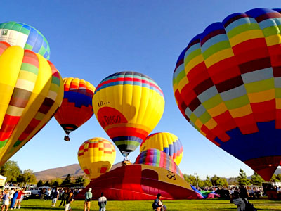
| Before the invention of hot air balloons and aircraft, it was not possible to take systematic vertical photographs or images of the Earth's surface.
Credits: FreeDigitalPhotos.net | |  |  | |
| | | | Aviões
| West London aerial photograph
Credits: Window on the UK 2000 | | | | |
| | | | Satélites
| Flight 112, an Ariane 5 launcher lifts off into the skies of Kourou above Europe's spaceport on 28 October 1998, carrying an ARD and a MAQSAT 3 satellite.
Credits: ESA/CNES/Arianespace | | | | |
| | | | | The satellite image above shows, in black, a very polluted sea. This image was taken by ERS-1 in December 1992, ten days after the Greek oil tanker Aegean Sea ran aground near the Spanish coast. At that time, the dedicated surveillance aircraft only observed pollution near the coast, but the satellite image revealed that the pollution was much more extensive.
Credits: ESA | | | | |
| |
| | Elementos de detecção remota Objectos observadosOs sensoresAs informações contidas numa imagem
|