About ESA
The European Space Agency (ESA) is Europe’s gateway to space. Its mission is to shape the development of Europe’s space capability and ensure that investment in space continues to deliver benefits to the citizens of Europe and the world.
Highlights


Latest


Space in Member States
Find out more about space activities in our 23 Member States, and understand how ESA works together with their national agencies, institutions and organisations.
 Germany
 Austria
 Belgium
 Denmark
 Spain
Spain
 Estonia
 Finland
 France
 Greece
 Hungary
 Ireland
 Italy
Italy
 Luxembourg
 Norway
 The Netherlands
 Poland
 Portugal
 Czechia
 Romania
 United Kingdom
 Slovenia
 Sweden
 Switzerland
Science & Exploration
Exploring our Solar System and unlocking the secrets of the Universe
Go to topicAstronauts


Latest


Enabling & Support
Making space accessible and developing the technologies for the future
Go to topicLatest


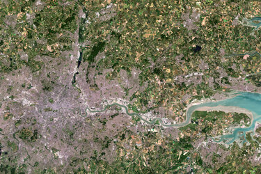
United Kingdom
The recently launched Sentinel-3A satellite takes us over the United Kingdom in this image acquired on 9 May.
Made up of England, Scotland, Wales and Northern Ireland, the UK is an island nation in northwestern Europe.
At the top centre of the image, we can see aircraft contrails – water vapour condenses around the small particles in the aircraft exhaust to form ice crystals.
The result is the formation of an elongated cloud-like condensation trail in the sky, unmistakable in the centre of the image.
At top right, some snow cover in southern Norway is still evident. At bottom right, part of the Netherlands with the unmistakable 700 sq km Lake Markermeer is clearly visible.
In the southern North Sea/English Channel, an algal bloom is distinguishable in shades of light blue and green. Meanwhile, closer to the coast we can see brown sediments where rivers and streams run into the sea.
The Scottish Highlands at the tip of the United Kingdom appear light brown, representing bare soil and rock formations, with some vegetation. The rest of the island, as well as the visible part of Ireland, are very green, representing dense vegetation.
Sentinel-3A’s Ocean and Land Colour Instrument is a new eye on Earth, monitoring ocean ecosystems, supporting crop management and agriculture, and providing estimates of atmospheric aerosol and clouds – all of which will bring significant benefits to society through more informed decision-making.
This image is also featured on the Earth from Space video programme.