About ESA
The European Space Agency (ESA) is Europe’s gateway to space. Its mission is to shape the development of Europe’s space capability and ensure that investment in space continues to deliver benefits to the citizens of Europe and the world.
Highlights


Latest


Space in Member States
Find out more about space activities in our 23 Member States, and understand how ESA works together with their national agencies, institutions and organisations.
 Germany
 Austria
 Belgium
 Denmark
 Spain
Spain
 Estonia
 Finland
 France
 Greece
 Hungary
 Ireland
 Italy
Italy
 Luxembourg
 Norway
 The Netherlands
 Poland
 Portugal
 Czechia
 Romania
 United Kingdom
 Slovenia
 Sweden
 Switzerland
Science & Exploration
Exploring our Solar System and unlocking the secrets of the Universe
Go to topicAstronauts


Latest


Enabling & Support
Making space accessible and developing the technologies for the future
Go to topicLatest


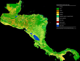
Mapping Mexico’s land cover
As part of a scientific collaboration with the Mexican Space Agency, ESA has combined images from the Copernicus Sentinel-2 mission to produce a detailed view of the different types of vegetation growing across the entire country. The high-resolution land-cover map combines images captured by Copernicus Sentinel-2 between 2016 and 2018.
The original map, generated with 10 m resolution imagery, is available via the Climate Change Initiative’s Land Cover 10 m viewer.
Sentinel-2 is a two-satellite constellation built for the EU’s Copernicus environmental monitoring programme. Each identical satellite carries a multispectral imager that can distinguish between different types of vegetation and crops. It can also be used to determine numerous plant indices such as the amounts of chlorophyll and water in leaves to monitor changes in plant health and growth. The mission has a myriad of uses, one of which is to provide information to map land cover so that changes in the way land is being used can be monitored.