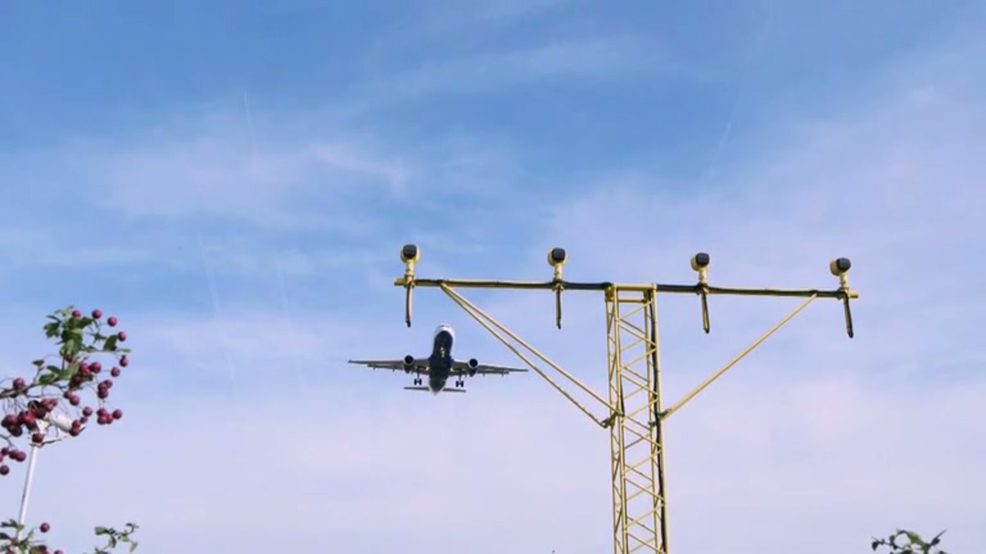
Driverless cars take safety lead from aircraft
With more than nine tenths of driving deaths linked to human error, the coming wave of autonomous vehicles could potentially save many lives, as well as slashing congestion and pollution levels. An ESA-backed project in the UK borrowed a key operating concept from aviation to bring the safety of driverless cars closer to that of flying – statistically the safest form of transport.
The 12-month project involved combining satellite navigation with other navigation techniques, including inertial measurements, radio links, cameras and ‘laser radar’ lidar, to safely guide a pair of test vehicles with sub-metre precision. Simulation testing progressed to driving around a test range and eventually a public motorway, under controlled test conditions.

Automated safety first
“Mass adoption of driverless vehicles will require public confidence that they are safe,” says Rajesh Tiwari of Nottingham Scientific Ltd, technical lead of the Integrity Monitoring and Prediction Concept and Prototype for Fully Autonomous Vehicle Resilience and Safety project, IMPACARS.
“But achieving this is not easy. Take Google’s autonomous vehicles as an example, which have so far autonomously travelled more than 1.5 million miles, with an impressive testing rate of 250 000 test miles per year. A purely experimental, complete proof that autonomous vehicles match the level of safety of human driving would take about 400 years at Google’s current testing rate.
“As an alternative to such experimental proof, IMPACARS takes the statistics-based idea of ‘integrity’ from aviation, where its application has allowed aircraft to make safe use of satellite navigation, including take-off and landing.”


Access the video
Steering aircraft by satellite
In recent years aircraft have been making use of satellite-based augmentation systems (SBAS) such as the US WAAS and European EGNOS that sharpen the accuracy of satellite navigation.
These SBAS systems are systematically taking over from costly ground-based guidance infrastructure . But while such ground-based systems provide a fixed level of accuracy, satnav incorporates a level of error that varies over time – influenced for instance by atmospheric distortion, drift in satellite atomic clocks or their orbital position.
To take account of this, SBAS systems operate on the basis of integrity, meaning the user gets regularly updated information on how much to trust the position provided by the satellite navigation receiver, based on a probability-based calculation of the maximum possible deviation from the user’s true position.

Imagine the aircraft in question with horizontal and vertical circles around it, taking in all the permissible places it might be, known as its ‘protection levels’. Around these in turn are wider circles representing its ‘alert level’ – so called because when the combined uncertainty level reaches this threshold then an alarm is raised to the user. The aim is to provide full confidence in the navigation system, including the ability to detect when the system should not be used for navigation.
Hitting the road
“We adapted this approach to the highly dynamic road traffic environment, with constantly changing conditions and other road vehicles,” adds Rajesh.

“While it has been found that the absolute positioning provided by satellite navigation and SBAS systems are necessary for autonomous car navigation, they are not sufficient by themselves to reach the necessary level of precision, without harnessing other positioning data sources on a data fusion basis. There are also places where satnav is unavailable, and we wanted this system to be available and reliable all of the time.”
The horizontal protection level around the test car was also stretched out from a circle to an elongated ‘lozenge’ shape, taking account of the fact that forwards and backwards collisions pose a greater risk than sideways collisions. The lengths and widths of these protection levels are guided by the local speed limit, with the overall safety level guided by the study of UK and European accident probabilities, aiming to maintain safety 99.999% of the time.

Drive time
A pair of specially-outfitted test vehicles were used on the Nuneaton-based test track of project partner Horiba Mira. These were able to collaboratively exchange key data between autonomous vehicles in real time – including position, velocity and condition – as well as exchanging data with smart road infrastructure, although the testing also covered driving with standard ‘dumb’ vehicles and roads as well. The test vehicles went on to graduate to motorway driving.
“We already anticipated satnav-denied locales around tall buildings or tunnels, but there were also a lot of unexpected brief outages, such as under bridges,” adds Rajesh. “The other sensors in combination can fill in here: the lidar provides 360 degree views up to 120 m away. While testing during rainfall the cameras had some problems but the lidar went on working fine – and could easily spot bicycles and pedestrians too.

“You might think the more sensors the better, but there is a practical limit, because all their data has to be put together, and that might lead to problems of latency, or delay. It’s all about identifying the best trade-off.”
IMPACARS, with the University of Nottingham and Horiba Mira, was set up through ESA’s Navigation Innovation and Support Programme (NAVISP), working with European industry and academia to develop innovative navigation technology.
“IMPACARS proceeded through NAVISP Element 1, focused on developing novel positioning concepts,” notes Rajesh. “Now the approach is proven we can look into taking it further, for instance into the maritime sector, or as the basis of a commercial prototype.”
“IMPACARS has introduced an innovative integrity concept for autonomous vehicles, taking the one used by civil aviation, then validated it through field trials,” says ESA navigation engineer Félix Torán, technical officer of the IMPACARS activity.


Access the video


 Germany
 Austria
 Belgium
 Denmark
 Spain
Spain
 Estonia
 Finland
 France
 Greece
 Hungary
 Ireland
 Italy
Italy
 Luxembourg
 Norway
 The Netherlands
 Poland
 Portugal
 Czechia
 Romania
 United Kingdom
 Slovenia
 Sweden
 Switzerland


