First Copernicus satellite exceeds design working life
This week marks seven years since the very first satellite that ESA built for the European Union’s Copernicus programme started delivering data to monitor the environment. The Sentinel-1A satellite has shed new light on our changing world and has been key to supplying a wealth of radar imagery to aid disaster response. While this remarkable satellite may have been designed for an operational life of seven years, it is still going strong and fully expected to be in service for several years to come.
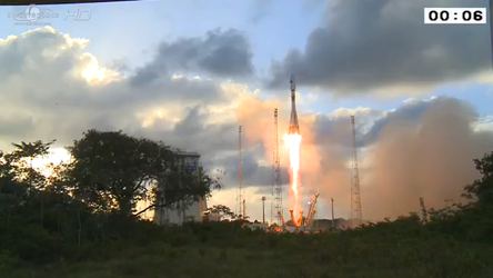
Launched on 3 April 2014 and delivering a stream of operational data by the beginning October 2014, Copernicus Sentinel-1A marked a new era in global environmental monitoring. Carrying the latest radar technology to provide an all-weather, day-and-night supply of imagery of Earth’s surface, this new mission not only raised the bar for spaceborne radar, but also set the stage for Europe’s Copernicus programme.

Copernicus has been the largest provider of Earth observation data in the world for some years now. The suite of Sentinel missions in orbit delivering complementary data and the range of services offered through Copernicus help address some of today’s toughest environmental challenges such as food security, rising sea levels, diminishing ice, natural disasters, and the overarching issue of the climate crisis.
“It is with great pride that we see the first satellite ESA built for Copernicus pass its all-important seven-year operational life expectancy,” said ESA’s Director General, Josef Aschbacher.
“We have another seven Copernicus Sentinel satellites currently in operation, all of which are surpassing expectations. With more missions in the pipeline and an ever-growing community using the Sentinel missions’ free and open data, the approach of building a long-term reliable observing system is clearly paying off.”
ESA’s Acting Head of Earth Observation Programmes, Toni Tolker-Nielsen, added, “The Copernicus programme as a whole is going to be even more relevant as the climate crisis takes a tighter hold. Information from satellites is indispensable in measuring progress towards climate goals set by the UN and the EC’s Green Deal.”
Mauro Facchini, Head of the Earth Observation Unit (DEFIS.C.3) at the European Commission, said, “The launch of Sentinel-1A has been historical for Copernicus – the start of the successful story of the family of Sentinel satellites serving Copernicus services and a huge number of users around the world with their data. The emphasis of the Copernicus programme has always been on its operational nature, going far beyond the time frame of research activities. The fact that Sentinel-1A is exceeding its design lifetime in best health underpins that both, policy-makers and businesses can really rely on Copernicus data and information being provided continuously and in long term.”

The Copernicus Sentinel-1 mission comprises two identical satellites orbiting 180° apart to image the planet with a repeat frequency of six days, down to a daily coverage at high latitudes to support operational sea-ice monitoring. Sentinel-1B was launched in April 2016.
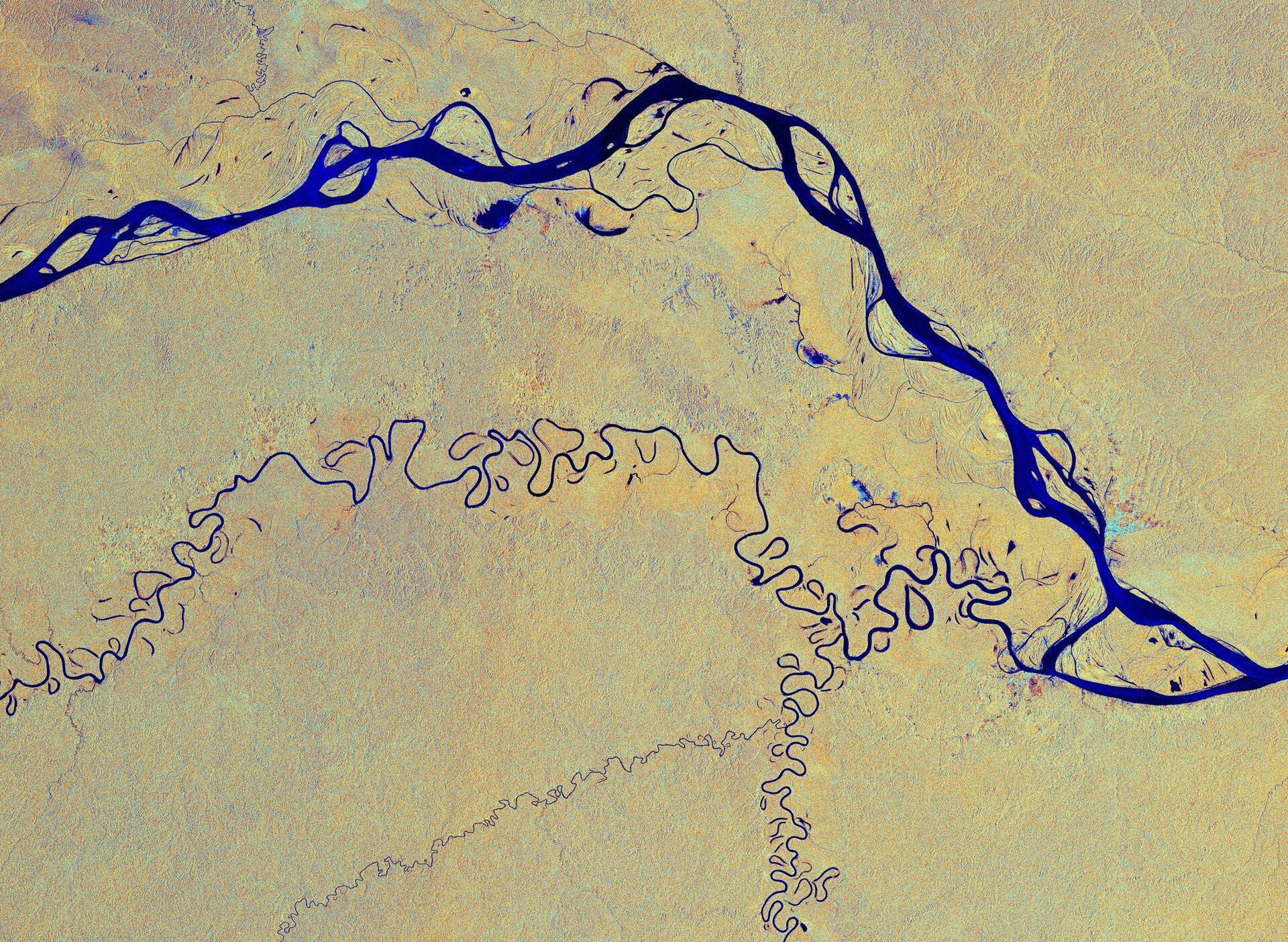
The mission benefits numerous services and applications, such as those that relate to Arctic sea-ice monitoring, iceberg tracking, routine sea-ice mapping, glacier-velocity monitoring, surveillance of the marine environment including oil-spill monitoring and ship detection for maritime security as well as illegal fisheries monitoring. It is also used for monitoring ground deformation resulting from subsidence, earthquakes and volcanoes, mapping for forest, water and soil management, and mapping to support humanitarian aid and crisis situations.
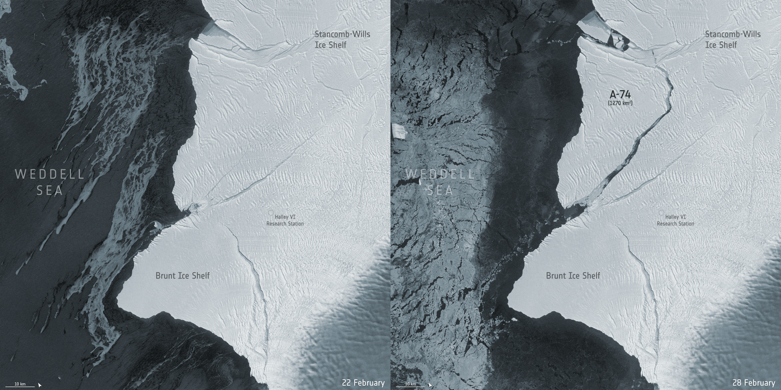
Over the last seven years, the mission has, for example, tracked the huge A-68 iceberg that calved from Antarctica and had a near-collision with South Georgia, has been used in synergy with the Copernicus Sentinel-2 optical mission to map crop types and with ESA’s CryoSat to map ice loss from ice sheets and diminishing sea ice as well as ice lost from the world’s glaciers.
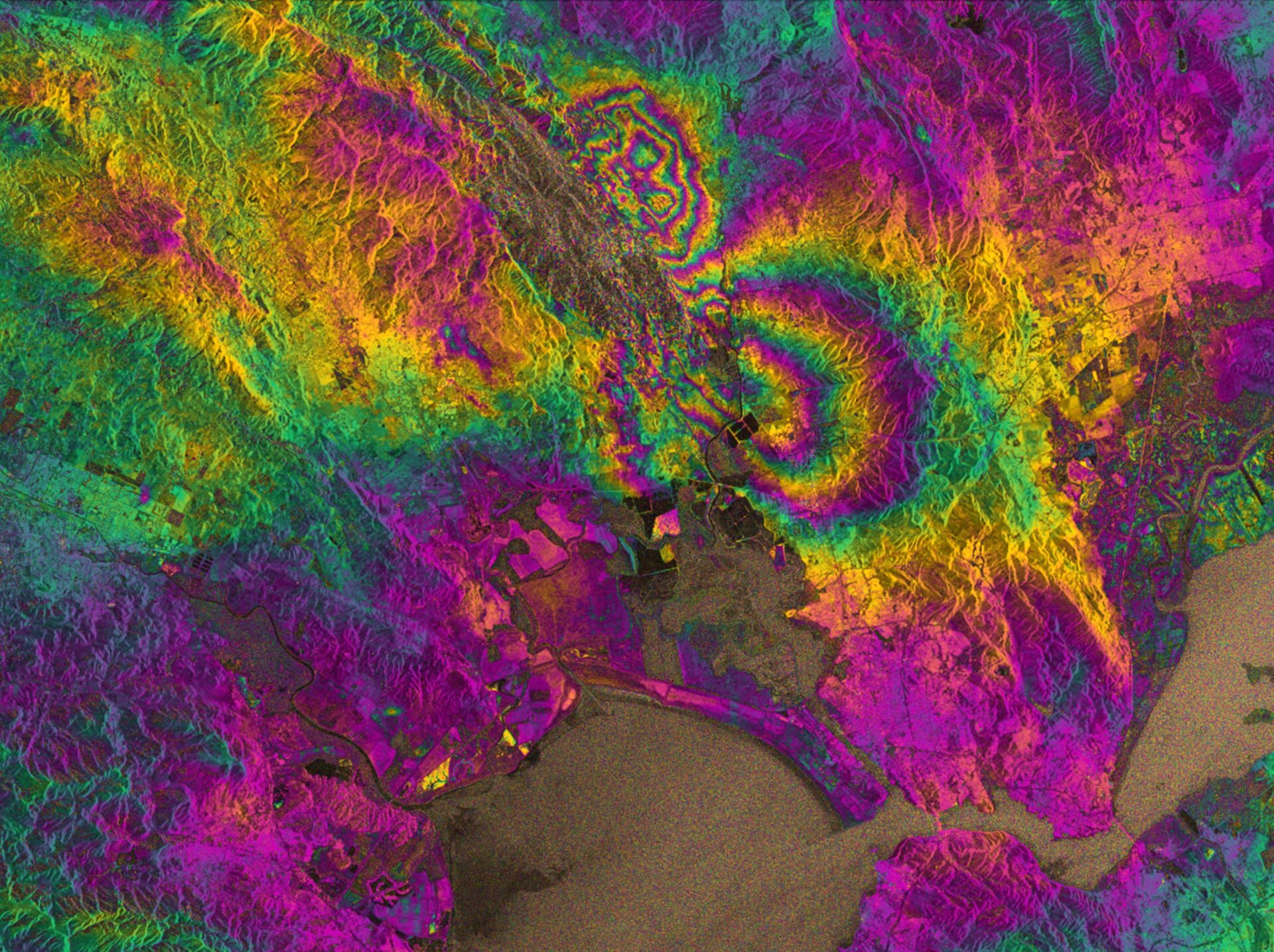
The mission has also been used to map subsidence and shifts in the ground following earthquakes, track surface wind speeds below tropical storms and hurricanes and been called upon through the Copernicus Emergency Mapping Services and the Disaster Charter to map floods at times of disaster.

Sentinel-1 data have also formed the basis for countless scientific papers that shed new light on how our planet functions. The list goes on.
With the mission designed to work as a pair of satellites, when the time does come for Sentinel-1A to retire, Sentinel-1C will take its place in orbit. The same goes for Sentinel-1B, which will eventually be replaced by Sentinel-1D. The latter two Sentinel-1 satellites will further improve performance and services with new instruments dedicated to marine applications.
To ensure the provision of data over next decades, the same approach is taken for the other Sentinel missions.
Looking even further ahead, it’s all systems go as ESA and the European Commission are developing the next generation of Sentinels building on the newest technology developments. Not only will this ensure continuity of data that many users have come to rely on, but it will also lead to new users and applications.


 Germany
 Austria
 Belgium
 Denmark
 Spain
Spain
 Estonia
 Finland
 France
 Greece
 Hungary
 Ireland
 Italy
Italy
 Luxembourg
 Norway
 The Netherlands
 Poland
 Portugal
 Czechia
 Romania
 United Kingdom
 Slovenia
 Sweden
 Switzerland


