Germany
 Austria
 Belgium
 Denmark
 Spain
Spain
 Estonia
 Finland
 France
 Greece
 Hungary
 Ireland
 Italy
Italy
 Luxembourg
 Norway
 The Netherlands
 Poland
 Portugal
 Czechia
 Romania
 United Kingdom
 Slovenia
 Sweden
 Switzerland


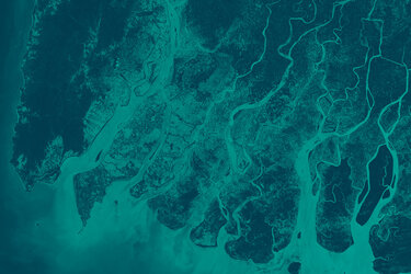
Biomass on biomass
With climate change arguably the biggest environmental challenge we face today and Earth’s forests playing a key role in sequestering atmospheric carbon dioxide, it is imperative to obtain accurate estimates of biomass and how it is changing.
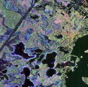
Measuring the mass of a tree from space is not an easy task. Unless a tree is felled and then weighed, its mass can only be inferred indirectly from structural parameters. In classical forest mensuration, this problem is solved by measuring the diameter of the trunk and then calculating the mass. The Biomass mission follows a very similar approach.
Thanks to the long wavelength of P-band, the radar signal, depending on the polarisation, emitted by the Biomass satellite will penetrate the whole forest layer and the signal will be scattered back by the individual elements of the forest canopy. In this way, the measured signal carries information about the forest structure and can be used to infer parameters such as forest biomass and forest height.


Access the video
Over its life in orbit, the Biomass mission uses a unique sampling technique to yield key information on forest biomass. The mission will be operated in two phases, namely, the tomographic phase at the beginning followed by the interferometric phase:
During the first phase, the tomographic phase, areas are revisited seven times to reveal the inner structure of a forest. The technique is comparable to a CT scan. It yields 3D maps at 15–20 m vertical resolution and 200 m spatial resolution.
This unique tomographic phase takes place at the beginning of the mission and lasts around 18 months. Biomass is the first mission that will systematically explore this observation technique from space.
The second phase is the interferometric phase – the main concept of operation. During this phase, an area is observed three times within a short time (six days). While a single observation provides an initial view of the forest canopy and forest density, the most valuable information is retrieved by multiple observations over the same area which allows a technique called synthetic aperture radar polarimetric interferometry to be applied.