EarthCARE’s multispectral imager
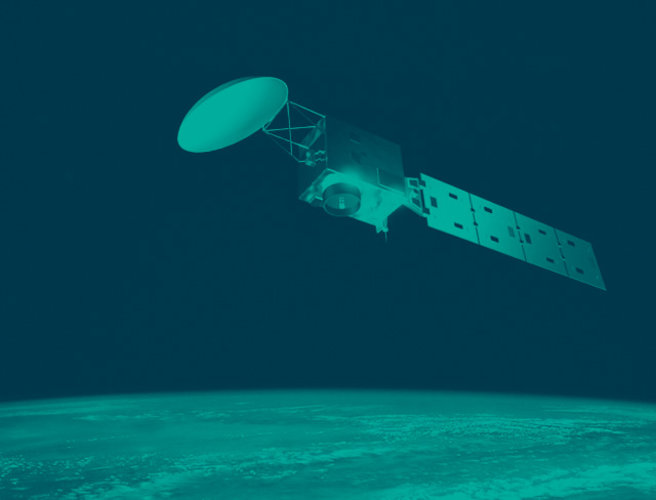
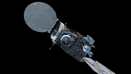
The EarthCARE satellite carries four instruments that together shed new light on the role that clouds and aerosols play in regulating Earth’s climate. One of these instruments is the multispectral imager.
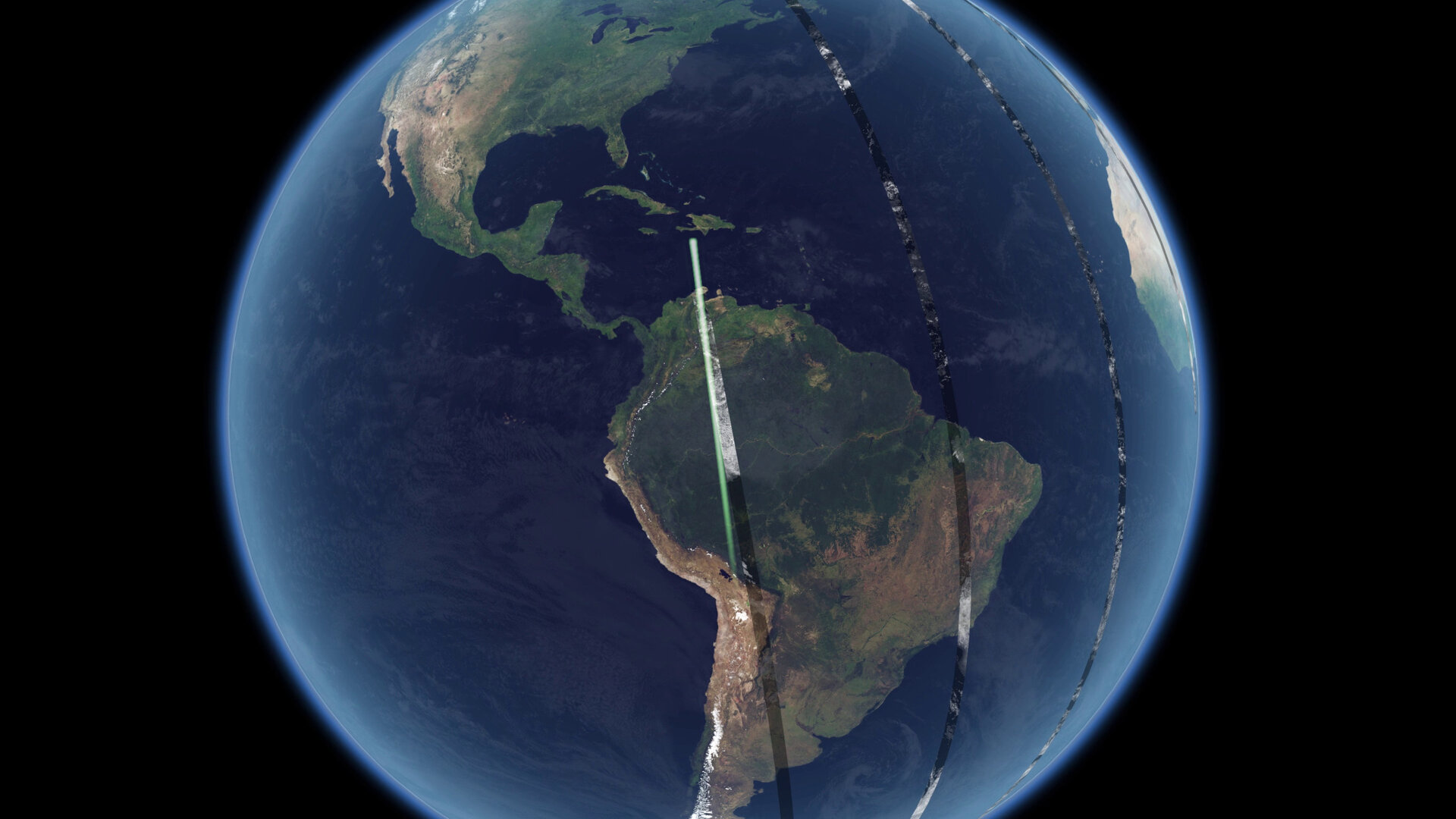
The multispectral imager collects images over a wide swath projected onto Earth’s surface. These images provide context to help interpret the measurements made by EarthCARE’s two active instruments, the lidar and the radar, that collect information only from a thin curtain under the satellite, and to extend that information into 3D scenes.
The multispectral imager also provides scene spectral property information for the broadband radiometer observations, allowing it to correct for the effects of its own instrument response and derive scene radiance more accurately. Furthermore, some aerosol information is directly derived from the multispectral imager.
The multispectral imager comprises two cameras that are both mounted on a common bench and use shared electronics and control units. The views from the cameras project a wide swath on Earth’s surface, which is tilted to the left side of satellite nadir to minimise the number of pixels affected by glint from the Sun.
Thermal infrared camera

This camera uses a single, 2D micro-bolometer array detector to collect images in three channels as the satellite passes over Earth. Telescope optics project each channel of the Earth scene onto a separate line of the 2D array detector.
As the camera view is then swept over Earth’s surface in a forward motion, the detector is operated with a technique called time delay integration, where the signal from the ground is added over successive lines on the detector to increase the signal-to-noise ratio. For this camera, 19 ground lines are summed for each channel, which increases the signal-to-noise ratio by a factor of about 4.5 times.
The view of the thermal infrared camera can also be directed to a view of cold space and to a relatively warm blackbody target whose temperature is very accurately measured. These two views are used daily to calibrate the camera measurements.
Visible, near infrared and shortwave infrared camera

This camera collects images in four channels in the wavelength spectrum from visible to shortwave infrared, apart from during night when it is not operated. There are two camera apertures, with one aperture dedicated to the second shortwave infrared channel.
Each channel has its own dedicated optics and a linear array photodiode detector. The second shortwave infrared channel detector is cooled with a dedicated radiator, to reduce detector noise. Successive image lines are collected on each detector as Earth passes underneath the satellite and the view of each channel is swept over the surface in a pushbroom motion.
This camera is also calibrated daily. The camera views are either closed to obtain a dark scene or are directed towards the view of a solar illuminated diffusor for a bright scene. The camera carries two sets of diffusors; the first set is illuminated daily and the second set is illuminated monthly, so that its measurements can be used to determine any degradation on the regularly used diffuser caused by its exposure to the Sun.

The multispectral imager collects images over a 150 km swath, with 500 m resolution. It has seven channels: visible, near-infrared, two shortwave infrared and three thermal-infrared.
The multispectral imager development was led by Surrey Satellite Technology Limited (UK).


Access the video
Back to EarthCARE instrument package page.


 Germany
 Austria
 Belgium
 Denmark
 Spain
Spain
 Estonia
 Finland
 France
 Greece
 Hungary
 Ireland
 Italy
Italy
 Luxembourg
 Norway
 The Netherlands
 Poland
 Portugal
 Czechia
 Romania
 United Kingdom
 Slovenia
 Sweden
 Switzerland


