Accept all cookies Accept only essential cookies See our Cookie Notice

About ESA
The European Space Agency (ESA) is Europe’s gateway to space. Its mission is to shape the development of Europe’s space capability and ensure that investment in space continues to deliver benefits to the citizens of Europe and the world.
Highlights
ESA - United space in Europe
This is ESA ESA facts Member States & Cooperating States Funding Director General Top management For Member State Delegations European vision European Space Policy ESA & EU Space Councils Responsibility & Sustainability Annual Report Calendar of meetings Corporate newsEstablishments & sites
ESA Headquarters ESA ESTEC ESA ESOC ESA ESRIN ESA EAC ESA ESAC Europe's Spaceport ESA ESEC ESA ECSAT Brussels Office Washington OfficeWorking with ESA
Business with ESA ESA Commercialisation Gateway Law at ESA Careers Cyber resilience at ESA IT at ESA Newsroom Partnerships Merchandising Licence Education Open Space Innovation Platform Integrity and Reporting Administrative Tribunal Health and SafetyMore about ESA
History ESA Historical Archives Exhibitions Publications Art & Culture ESA Merchandise Kids Diversity ESA Brand Centre ESA ChampionsLatest
Space in Member States
Find out more about space activities in our 23 Member States, and understand how ESA works together with their national agencies, institutions and organisations.
Science & Exploration
Exploring our Solar System and unlocking the secrets of the Universe
Go to topicAstronauts
Missions
Juice Euclid Webb Solar Orbiter BepiColombo Gaia ExoMars Cheops Exoplanet missions More missionsActivities
International Space Station Orion service module Gateway Concordia Caves & Pangaea BenefitsLatest
Space Safety
Protecting life and infrastructure on Earth and in orbit
Go to topicAsteroids
Asteroids and Planetary Defence Asteroid danger explained Flyeye telescope: asteroid detection Hera mission: asteroid deflection Near-Earth Object Coordination CentreSpace junk
About space debris Space debris by the numbers Space Environment Report In space refuelling, refurbishing and removingSafety from space
Clean Space ecodesign Zero Debris Technologies Space for Earth Supporting Sustainable DevelopmentApplications
Using space to benefit citizens and meet future challenges on Earth
Go to topicObserving the Earth
Observing the Earth Future EO Copernicus Meteorology Space for our climate Satellite missionsCommercialisation
ESA Commercialisation Gateway Open Space Innovation Platform Business Incubation ESA Space SolutionsLatest
Enabling & Support
Making space accessible and developing the technologies for the future
Go to topicBuilding missions
Space Engineering and Technology Test centre Laboratories Concurrent Design Facility Preparing for the future Shaping the Future Discovery and Preparation Advanced Concepts TeamSpace transportation
Space Transportation Ariane Vega Space Rider Future space transportation Boost! Europe's Spaceport Launches from Europe's Spaceport from 2012Latest

Spanish and French coasts - ASAR, 16 April 2003
Thank you for liking
You have already liked this page, you can only like it once!
This ASAR Wide Swath image of 405 km wide by 1235 km long shows in a single acquisition the east of Spain, the west of France and a part of the north of Africa. This image is a nice demonstration of one of the main features of the Wide Swath Mode, which is the capability to cover more than 400 Km in range using the ASAR beam steering in elevation and the ScanSAR technique.
The Pyrenees mountains chain, natural borders between Spain and France, can be easily identified in the centre of the image.
The brighter land areas are major European cities. The city of Barcelona in Catalonia appears particularly bright in the centre right part of the image. The small dark patch in the south of the city near the coast is the mountain of Montjuich, where took place the 1929 International Exposition. The image shows how the Barcelona urban area extends towards the north, along the main road axes, joining the major industrial cities in Catalonia. Some main French cities are also visible in the image: Toulouse, in the centre right part of the image, Nantes, in the top centre of the image, with the Loire river flowing through, and Bordeaux in the south of Gironde estuary on the west coast. This is the largest estuary in France and it is formed by the confluence of the Garonne and Dordogne rivers, flowing from south and east respectively. On the small area of Africa visible at the bottom of the image, the Atlas mountains chain and the city of Algiers can also be identified.
Technical Information:
Instruments: Advanced Synthetic Aperture Radar (ASAR)
Date of Acquisition: 16 April 2003
Orbit number: 05895
Orbit direction: Ascending
Instrument features: Wide Swath Mode (150 meter resolution)
ASAR Polarisation: VV
Coordinates:
NE Lat/Long: N 47.71 / E 1.65
NW Lat/Long: N 46.96 / W 3.88
SW Lat/long: N 35.48 / W 0.43
SE Lat/long: N 36.21 / E 4.20
-
CREDIT
ESA 2003 -
LICENCE
ESA Standard Licence and Additional permission may be required
(contact spaceinimages@esa.int for further information)

Helsinki, Finland - ASAR, 22 April 2003

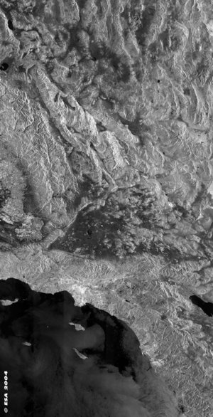
Los Angeles - ASAR - 20 August 2003

Oahu, Hawaiian Islands - ASAR, 12 April 2003

Berlin, Germany - ASAR - 22 April 2003


 Germany
 Austria
 Belgium
 Denmark
 Spain
Spain
 Estonia
 Finland
 France
 Greece
 Hungary
 Ireland
 Italy
Italy
 Luxembourg
 Norway
 The Netherlands
 Poland
 Portugal
 Czechia
 Romania
 United Kingdom
 Slovenia
 Sweden
 Switzerland


