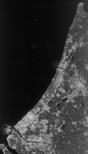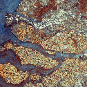

Envisat radar image of the Netherlands
This Envisat image features the Netherlands, with the capital city of Amsterdam visible in white on the south bank of the waterway (North Sea Canal) extending in an east-west direction left above image centre. The port of Rotterdam (visible in bottom left corner) and the province of Zeeland, are both visible at the bottom left of the image. Visible inland from the port, Rotterdam is the country’s second largest city after Amsterdam.
The colour in this image is due to it being a multitemporal composite, made up of three Advanced Synthetic Aperture Radar (ASAR) images acquired on different dates, with separate colours assigned to each acquisition. In this composite, blue relates to an acquisition on 12 March 2008, green to one on 30 July 2008 and red to one on 28 November 2007.


