
About ESA
The European Space Agency (ESA) is Europe’s gateway to space. Its mission is to shape the development of Europe’s space capability and ensure that investment in space continues to deliver benefits to the citizens of Europe and the world.
Highlights


Latest


Space in Member States
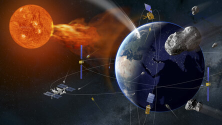
Find out more about space activities in our 23 Member States, and understand how ESA works together with their national agencies, institutions and organisations.
 Germany
 Austria
 Belgium
 Denmark
 Spain
Spain
 Estonia
 Finland
 France
 Greece
 Hungary
 Ireland
 Italy
Italy
 Luxembourg
 Norway
 The Netherlands
 Poland
 Portugal
 Czechia
 Romania
 United Kingdom
 Slovenia
 Sweden
 Switzerland
Science & Exploration
Exploring our Solar System and unlocking the secrets of the Universe
Go to topicAstronauts


Latest


Enabling & Support
Making space accessible and developing the technologies for the future
Go to topicLatest


Mississippi swampland
This Sentinel-2A ‘colour vision’ image captures part of the Mississippi swamps on the east and west banks of the Mississippi River, south of New Orleans and north of the Mississippi Delta.
From agricultural monitoring to charting changing lands, images from Europe’s Sentinel-2A ‘colour vision’ satellite can be used for many practical applications and to keep us, and our planet, safe. The red colour scattered throughout the image shows the enormous amount of vegetation in the area, while the grey represents the various bodies of water.
Close to the heart of the snake-like Mississippi River, the image clearly shows the typical French-style fields, with rows of sugar cane, around the towns of Lucy, Edgard and Wallace. On the east bank of the Mississippi lie the towns of LaPlace, Reserve, Lions, Garyville and Mount Airy, each with industries along the river, including a chemical plant, sugar refinery, grain elevators and an oil refinery.
Bayous are scattered all over the image. A bayou is a Franco-English term for an extremely slow-moving stream or river, marshy lake or wetland. They are commonly found in the Mississippi River Delta, famous within the states of Louisiana and Texas. Though fauna varies by region, many bayous are home to crawfish, certain species of shrimp, other shellfish, catfish, frogs, toads, American alligators and crocodiles, and the alligator snapping turtle.
Towards the upper left part of the image, under the many clouds, lies Baton Rouge, the capital of Louisiana and its second-largest city. On the eastern bank of the Mississippi River, Baton Rouge is a major industrial, petrochemical, medical, research, motion picture and growing technology centre of the American south. The port of Baton Rouge is the ninth largest in the United States in terms of tonnage shipped.
Sentinel-2A has been in orbit since 23 June, with its multispectral camera supplying optical images of Earth’s land and water bodies. It provides imagery of vegetation, soil and water cover, inland waterways and coastal areas.
This image, captured on 15 July by Sentinel-2A, is featured on the Earth from Space video programme.

