Eos Chasma, part of Valles Marineris
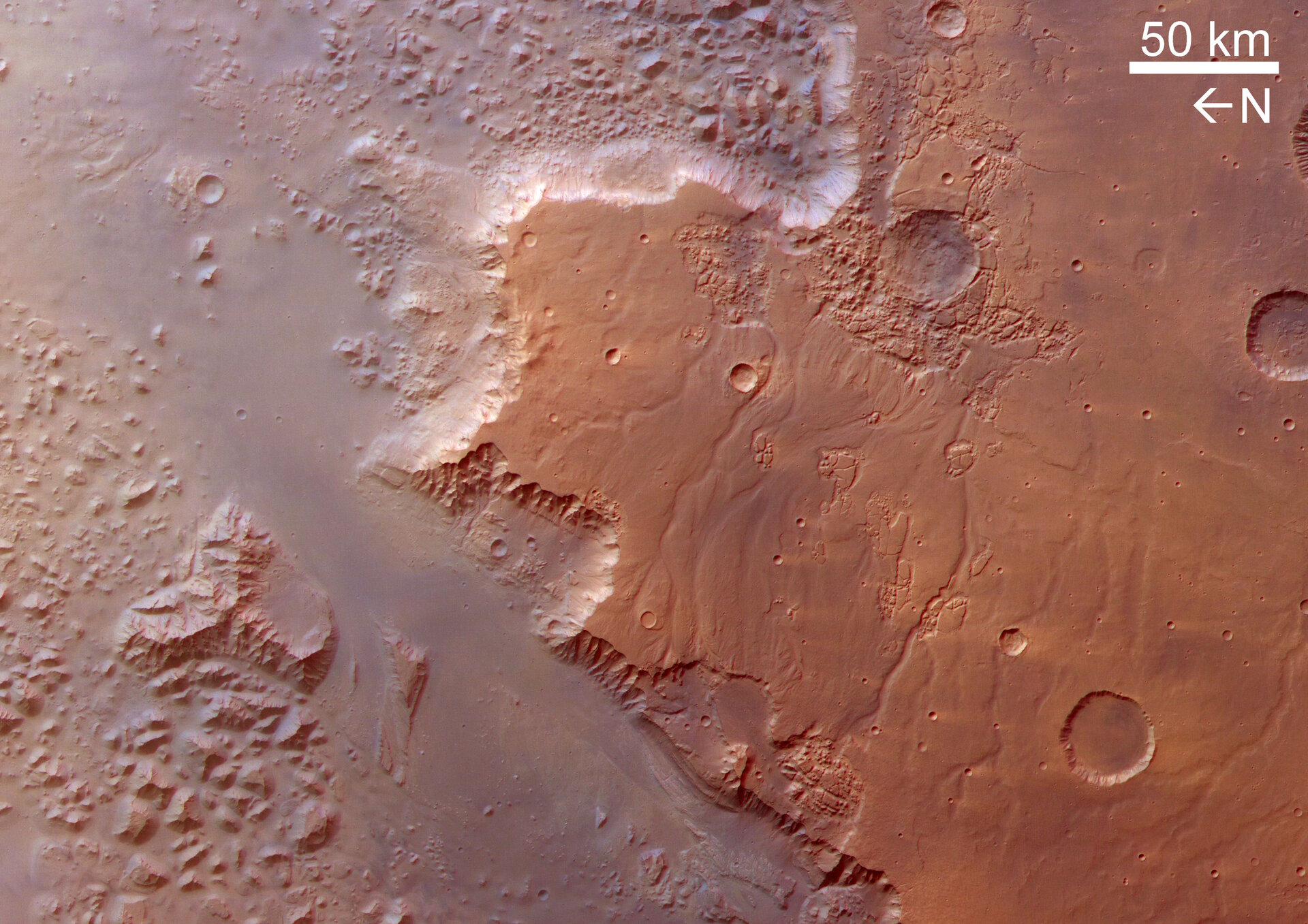
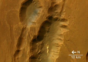
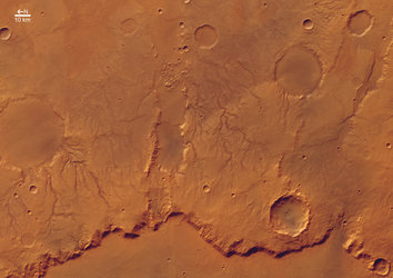
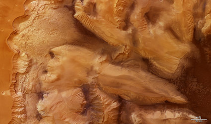
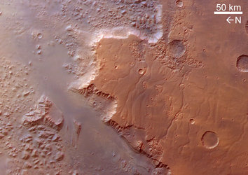
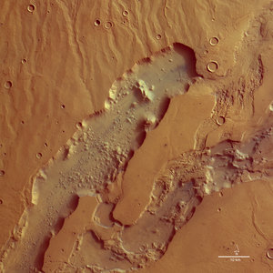
These images, taken by the High Resolution Stereo Camera (HRSC) on board ESA's Mars Express spacecraft, show the southern part of Valles Marineris, called Eos Chasma.
The images were taken during orbit 533 in June 2004, and are centred at Mars longitude 322° East and latitude 11° South. The image resolution is approximately 80 metres per pixel.
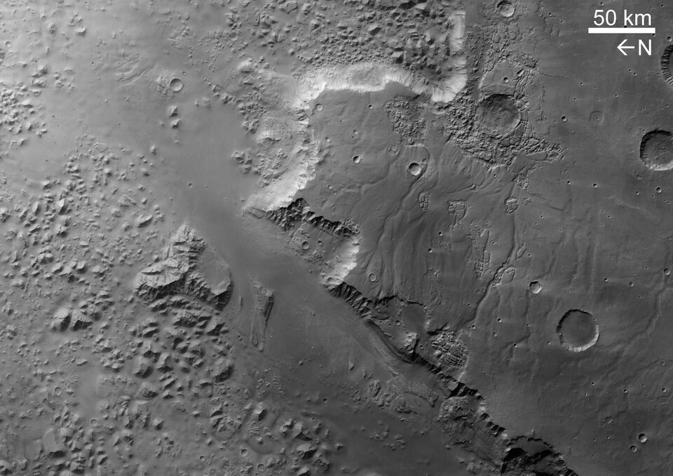
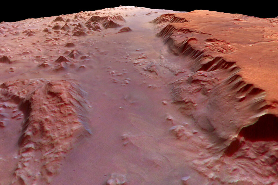
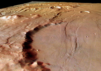
Between surrounding plains and the smooth valley floor, a height difference of about 5000 metres has been measured.
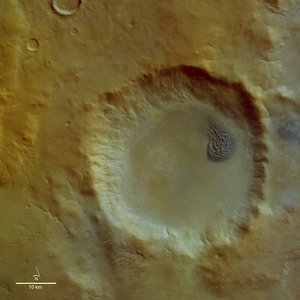
The plain to the south, above Eos Chasma, is covered by several impact craters with diameters of around 20 kilometres and drainage channels.
To the east on this plain, isolated regions with cracked surfaces become more prominent. The direction of flow of the drainage channels in this area of the plain is ambiguous, as the channels to the north-east drain towards the south-east, and those in the south-west normally flow to the north-west.
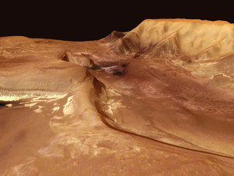
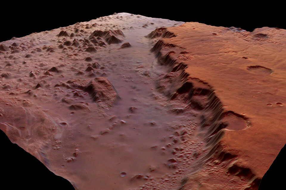
The northern part of Eos Chasma’s valley floor is a rough area with angular hills reaching almost 1000 metres. In contrast, the southern part reveals a smooth topography with distinct flow structures.
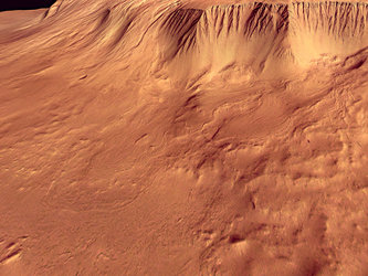
In some areas of the southern slope, at least two terrace levels can be observed. Some haze in the valley hints at the presence of aerosols (airborne microscopic dust or liquid droplets).
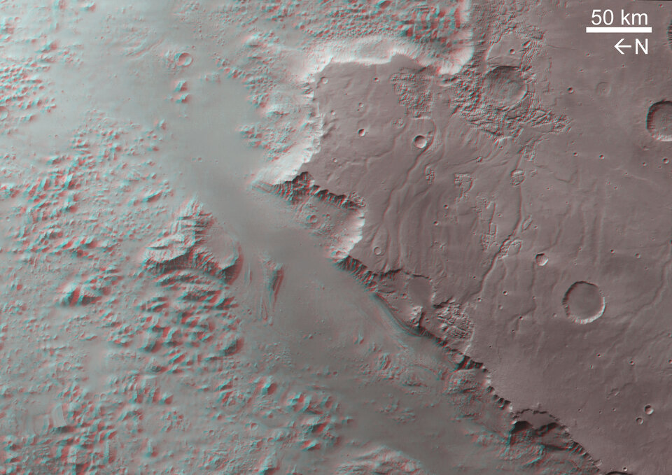
The colour image was created from the HRSC’s nadir (vertical view) and three colour channels. The 3D anaglyph image was created using the nadir and one of the stereo channels.
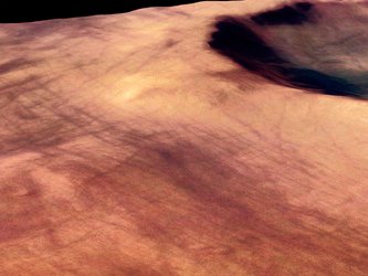
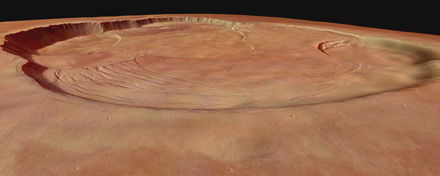
The perspective views, with height exaggerated by a factor of four, were calculated from the digital terrain model derived from the stereo channels. Image resolution was reduced for use on the internet.
For more information on Mars Express HRSC images, you might like to read our updated 'Frequently Asked Questions'.


 Germany
 Austria
 Belgium
 Denmark
 Spain
Spain
 Estonia
 Finland
 France
 Greece
 Hungary
 Ireland
 Italy
Italy
 Luxembourg
 Norway
 The Netherlands
 Poland
 Portugal
 Czechia
 Romania
 United Kingdom
 Slovenia
 Sweden
 Switzerland


